Earthquake 26 km NNW of Westbrook, Texas
Wed, 01 Apr 2026 07:37:21 GMT
Time4 days ago
Location
32.5660, -101.1530
Depth
7.9 KM
Event Summary
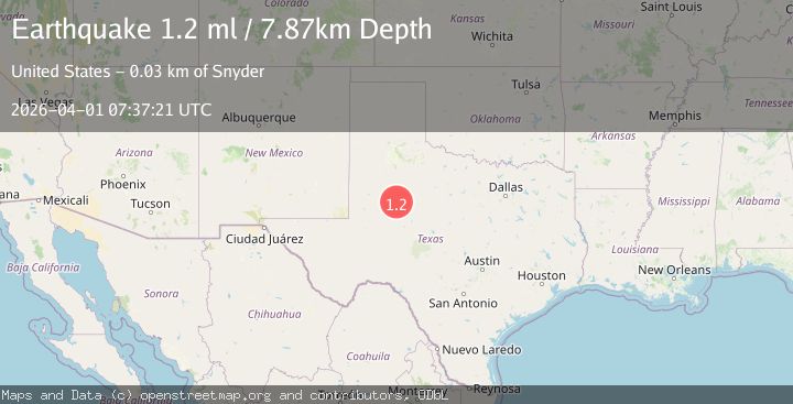
A 1.2 magnitude earthquake struck on 26 km NNW of Westbrook, Texas, at Wed, 01 Apr 2026 07:37:21 GMT. Depth: 7.8694km. Reviewed by USGS seismologists, this minor quake occurred at a magnitude type of ml.
Magnitude
1.2
ml
Source
USGS
Intensity
-
Agency Reports
1 Sources| Source | Magnitude | Depth | Time |
|---|---|---|---|
| USGSPrimary | 1.2 | 8 km | 4 days ago |
Earthquake Details
AutomaticEvent IDusgs_tx2026gjunio
QualityS
Tsunami PotentialNo
Magnitude Typeml
Last Update4 days ago
Used Stations7
Felt Reports0
Did you feel this earthquake? Report it to help others.
No reports yet
Be the first to report this earthquake!
Latest Earthquakes
Loading...
Nearby Earthquakes
2.9Mag
western Texas
Time1 day ago
Depth0.00 km
SourceVYT (Automatic)
1.0Mag
13 km SSW of Big Spring, Texas
Time1 day ago
Depth7.64 km
SourceUSGS (Automatic)
2.2Mag
WESTERN TEXAS
Time1 day ago
Depth8.60 km
SourceTX (Automatic)
1.0Mag
18 km N of Stanton, Texas
Time1 day ago
Depth3.24 km
SourceUSGS (Automatic)
1.3Mag
14 km NNW of Stanton, Texas
Time2 days ago
Depth3.32 km
SourceUSGS (Automatic)