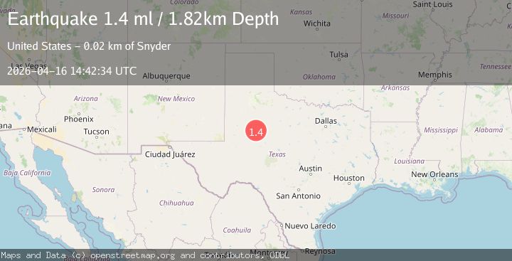
Earthquake 22 km SW of Snyder, Texas
Thu, 16 Apr 2026 14:42:34 GMT
Time2 weeks ago
Location
32.5690, -101.0760
Depth
1.8 KM
Event Summary
A 1.4 magnitude earthquake struck on 22 km SW of Snyder, Texas, at Thu, 16 Apr 2026 14:42:34 GMT. Depth: 1.8183km. Reviewed by USGS seismologists, this minor quake occurred at a magnitude type of ml.
Magnitude
1.4
ml
Source
USGS
Intensity
-
Agency Reports
1 Sources| Source | Magnitude | Depth | Time |
|---|---|---|---|
| USGSPrimary | 1.4 | 2 km | 2 weeks ago |
Earthquake Details
AutomaticEvent IDusgs_tx2026hlwmzu
QualityS
Tsunami PotentialNo
Magnitude Typeml
Last Update2 weeks ago
Used Stations12
Felt Reports0
Did you feel this earthquake? Report it to help others.
No reports yet
Be the first to report this earthquake!
Latest Earthquakes
Loading...
Nearby Earthquakes
1.5Mag
11 km W of Forsan, Texas
Time9 hours ago
Depth8.84 km
SourceUSGS
2.0Mag
16 km NE of Stanton, Texas
Time23 hours ago
Depth0.73 km
SourceUSGS (Automatic)
1.5Mag
10 km WSW of Stanton, Texas
Time1 day ago
Depth4.11 km
SourceUSGS (Automatic)
1.7Mag
30 km NNW of Snyder, Texas
Time1 day ago
Depth1.44 km
SourceUSGS (Automatic)
1.8Mag
western Texas
Time2 days ago
Depth1.95 km
SourceVYT (Automatic)