Earthquake 143 km E of Kimbe, Papua New Guinea
Thu, 05 Feb 2026 12:52:57 GMT
Time2 weeks ago
Location
-5.3600, 151.4225
Depth
107.7 KM
Event Summary
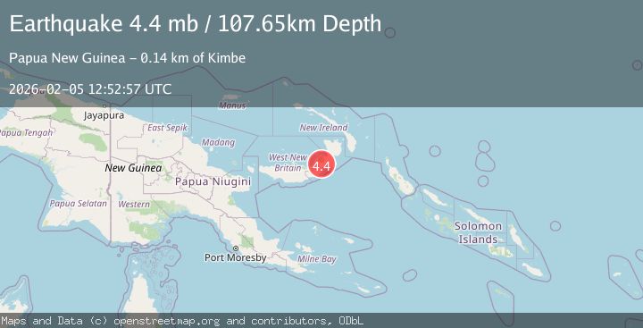
A 4.4 magnitude earthquake struck on 143 km E of Kimbe, Papua New Guinea, at Thu, 05 Feb 2026 12:52:57 GMT. Depth: 107.65km. Reviewed by USGS seismologists, this light quake occurred at a magnitude type of mb.
Magnitude
4.4
mb
Source
USGS
Intensity
-
Agency Reports
2 Sources| Source | Magnitude | Depth | Time |
|---|---|---|---|
| USGSPrimary | 4.4 | 108 km | 2 weeks ago |
| EMSC | 4.4 | 110 km | 2 weeks ago |
Earthquake Details
ConfirmedEvent IDusgs_us6000s6ky
Tsunami PotentialNo
Magnitude Typemb
Comments
Join the discussion about this event.
Latest Earthquakes
2.0Mag
Central California
Time2 minutes ago
Depth0.00 km
SourceVYT (Automatic)
1.0Mag
6 km NW of The Geysers, CA
Time3 minutes ago
Depth2.64 km
SourceUSGS (Automatic)
2.0Mag
SWEDEN
Time8 minutes ago
Depth12.20 km
SourceSNSN (Automatic)
3.0Mag
DODECANESE ISLANDS, GREECE
Time9 minutes ago
Depth10.00 km
SourceNOA (Automatic)
3.2Mag
Southeastern Alaska
Time10 minutes ago
Depth0.00 km
SourceVYT (Automatic)
Nearby Earthquakes
5.4Mag
NEW BRITAIN REGION, P.N.G.
Time21 years ago
Depth20.00 km
SourceEMSC (Automatic)
5.0Mag
NEW BRITAIN REGION, P.N.G.
Time13 years ago
Depth98.00 km
SourceEMSC (Automatic)
5.8Mag
NEW BRITAIN REGION, P.N.G.
Time15 years ago
Depth60.00 km
SourceEMSC (Automatic)
5.0Mag
NEW BRITAIN REGION, P.N.G.
Time6 years ago
Depth117.00 km
SourceEMSC (Automatic)
5.2Mag
NEW BRITAIN REGION, P.N.G.
Time14 years ago
Depth60.00 km
SourceEMSC (Automatic)