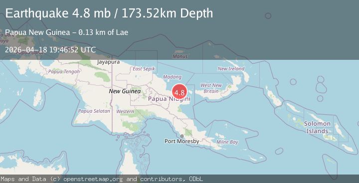
Earthquake 126 km N of Lae, Papua New Guinea
Sat, 18 Apr 2026 19:46:52 GMT
Time1 day ago
Location
-5.5774, 146.9923
Depth
173.5 KM
Event Summary
A 4.8 magnitude earthquake struck on 126 km N of Lae, Papua New Guinea, at Sat, 18 Apr 2026 19:46:52 GMT. Depth: 173.523km. Reviewed by USGS seismologists, this light quake occurred at a magnitude type of mb.
Magnitude
4.8
mb
Source
USGS
Intensity
I
Agency Reports
3 Sources| Source | Magnitude | Depth | Time |
|---|---|---|---|
| USGSPrimary | 4.8 | 174 km | 1 day ago |
| NEIC | 4.8 | 174 km | 1 day ago |
| EMSC | 4.8 | 188 km | 1 day ago |
Earthquake Details
ConfirmedEvent IDusgs_us6000sr5w
QualityS
Tsunami PotentialNo
Magnitude Typemb
Last Update1 day ago
Used Stations61
Felt Reports0
Did you feel this earthquake? Report it to help others.
No reports yet
Be the first to report this earthquake!
Latest Earthquakes
Loading...
Nearby Earthquakes
3.6Mag
eastern New Guinea region, Papua New Guinea
Time2 weeks ago
Depth127.93 km
SourceVYT (Automatic)
4.7Mag
eastern New Guinea region, Papua New Guinea
Time3 weeks ago
Depth186.89 km
SourceVYT (Automatic)
3.8Mag
eastern New Guinea region, Papua New Guinea
Time0 months ago
Depth254.03 km
SourceVYT (Automatic)
3.5Mag
eastern New Guinea region, Papua New Guinea
Time1 month ago
Depth96.07 km
SourceVYT (Automatic)
4.4Mag
EASTERN NEW GUINEA REG., P.N.G.
Time1 month ago
Depth179.70 km
SourceNEIC (Automatic)