Earthquake 105 km NNW of Yakutat, Alaska
Thu, 01 Jan 2026 06:46:55 GMT
Time1 hour ago
Location
60.4759, -140.1243
Depth
9.0 KM
Event Summary
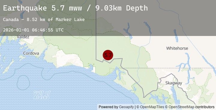
A 5.7 magnitude earthquake struck on 105 km NNW of Yakutat, Alaska, at Thu, 01 Jan 2026 06:46:55 GMT. Depth: 9.03km. Reviewed by USGS seismologists, this moderate quake occurred at a magnitude type of mww.
Magnitude
5.7
mww
Source
USGS
Intensity
-
Earthquake Details
ConfirmedEvent IDusgs_us7000rluk
Tsunami PotentialNo
Magnitude Typemww
Nearest Places
- Marker Lake8.5 km
- McArthur Peak15.3 km
- Mount Logan18.4 km
- Mount King George19.4 km
- Corwin Cliffs22.2 km
Comments
Join the discussion about this event.
Latest Earthquakes
2.0Mag
OLYMPIC PENINSULA, WASHINGTON
Time2 minutes ago
Depth37.40 km
SourceEMSC (Automatic)
2.0Mag
16 km WNW of Skokomish, Washington
Time2 minutes ago
Depth37.38 km
SourceUSGS (Automatic)
2.9Mag
PUERTO RICO REGION
Time14 minutes ago
Depth35.00 km
SourceEMSC (Automatic)
2.9Mag
92 km NNW of San Antonio, Puerto Rico
Time14 minutes ago
Depth35.00 km
SourceUSGS
1.5Mag
10 km WSW of Pine Valley, CA
Time17 minutes ago
Depth17.37 km
SourceUSGS (Automatic)
Nearby Earthquakes
3.1Mag
SOUTHERN YUKON TERRITORY, CANADA
Time19 minutes ago
Depth8.20 km
SourceEMSC (Automatic)
3.1Mag
110 km NNW of Yakutat, Alaska
Time19 minutes ago
Depth8.17 km
SourceUSGS
1.3Mag
125 km SE of McCarthy, Alaska
Time21 minutes ago
Depth5.00 km
SourceUSGS (Automatic)
2.9Mag
SOUTHERN YUKON TERRITORY, CANADA
Time28 minutes ago
Depth5.00 km
SourceEMSC (Automatic)
2.9Mag
103 km NNW of Yakutat, Alaska
Time28 minutes ago
Depth5.00 km
SourceUSGS