Earthquake south of the Fiji Islands
Tue, 20 Jan 2026 08:45:24 GMT
Time1 week ago
Location
-23.6970, -179.9598
Depth
527.0 KM
Event Summary
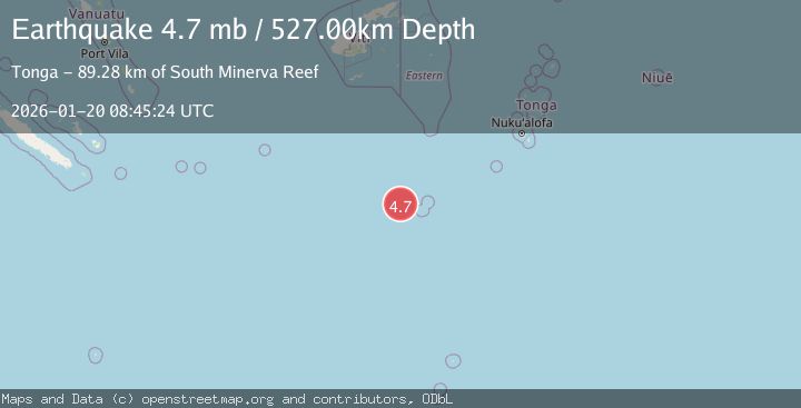
A 4.7 magnitude earthquake struck on south of the Fiji Islands, at Tue, 20 Jan 2026 08:45:24 GMT. Depth: 527.005km. Reviewed by USGS seismologists, this light quake occurred at a magnitude type of mb.
Magnitude
4.7
mb
Source
USGS
Intensity
-
Agency Reports
1 Sources| Source | Magnitude | Depth | Time |
|---|---|---|---|
| USGSPrimary | 4.7 | 527 km | 1 week ago |
Earthquake Details
ConfirmedEvent IDusgs_us7000rqsi
Tsunami PotentialNo
Magnitude Typemb
Nearest Places
- South Minerva Reef89.2 km
- Herald Bight89.2 km
- Minerva Reefs98.8 km
- North Minerva Reef104.8 km
- Naicibaciba Rock317.1 km
Comments
Join the discussion about this event.
Latest Earthquakes
2.3Mag
Flores Sea
Time11 hours ago
Depth21.75 km
SourceBMKG (Automatic)
2.2Mag
NEVADA
Time11 hours ago
Depth8.30 km
SourceNN (Automatic)
1.8Mag
13 km SSE of Volcano, Hawaii
Time11 hours ago
Depth3.46 km
SourceUSGS (Automatic)
1.4Mag
10 km N of Hollister, CA
Time11 hours ago
Depth10.13 km
SourceUSGS (Automatic)
1.2Mag
13 km WSW of Stanton, Texas
Time11 hours ago
Depth3.46 km
SourceUSGS (Automatic)
Nearby Earthquakes
4.9Mag
SOUTH OF FIJI ISLANDS
Time2 days ago
Depth590.40 km
SourceNEIC (Automatic)
5.2Mag
SOUTH OF FIJI ISLANDS
Time2 days ago
Depth509.60 km
SourceNEIC (Automatic)
5.0Mag
FIJI REGION
Time2 days ago
Depth574.00 km
SourceEMSC (Automatic)
4.9Mag
FIJI REGION
Time2 days ago
Depth577.80 km
SourceNEIC (Automatic)
5.4Mag
TONGA
Time1 day ago
Depth32.00 km
SourceEMSC (Automatic)