Earthquake 28 km NE of Saint-André-Avellin, Canada
Tue, 20 Jan 2026 09:55:21 GMT
Time3 months ago
Location
45.8731, -74.7730
Depth
10.0 KM
Event Summary
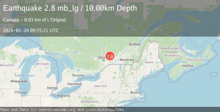
A 2.8 magnitude earthquake struck on 28 km NE of Saint-André-Avellin, Canada, at Tue, 20 Jan 2026 09:55:21 GMT. Depth: 10km. Reviewed by USGS seismologists, this minor quake occurred at a magnitude type of mb_lg.
Magnitude
2.8
mb_lg
Source
USGS
Intensity
I
Agency Reports
2 Sources| Source | Magnitude | Depth | Time |
|---|---|---|---|
| USGSPrimary | 2.8 | 10 km | 3 months ago |
| NEIC | 2.8 | 10 km | 3 months ago |
Earthquake Details
ConfirmedEvent IDusgs_us7000rqt2
QualityS
Tsunami PotentialNo
Magnitude Typemb_lg
Last Update2 months ago
Nearest Places
Possibly felt by: 7K
- 28.6 km1.9K people
- 28.8 km1.1K people
- 28.9 km1.4K people
- 31.3 km1.3K people
- 31.7 km1.2K people
- 32.7 km10.3K people
- 34.2 km1.6K people
- 34.8 km6.7K people
- 35.6 km3.7K people
- 40.5 km8.9K people
- 40.6 km3.9K people
- 41.6 km9.7K people
- 42.2 km9.6K people
- 42.7 km10.2K people
- 43.3 km1.3K people
- 43.7 km1.2K people
- 45.7 km1.2K people
- 46.0 km9.2K people
- 46.6 km5.2K people
Felt Reports0
Did you feel this earthquake? Report it to help others.
No reports yet
Be the first to report this earthquake!
Latest Earthquakes
Loading...
Nearby Earthquakes
2.0Mag
southern Quebec, Canada
Time5 hours ago
Depth31.01 km
SourceVYT (Automatic)
2.5Mag
ONTARIO-QUEBEC BORD REG., CANADA
Time1 week ago
Depth10.80 km
SourceNEIC (Automatic)
2.6Mag
southern Ontario, Canada
Time2 weeks ago
Depth0.12 km
SourceVYT (Automatic)
1.8Mag
southern Ontario, Canada
Time1 month ago
Depth17.70 km
SourceVYT (Automatic)
2.5Mag
New York
Time1 month ago
Depth211.43 km
SourceVYT (Automatic)