Earthquake Fiji region
Tue, 20 Jan 2026 19:37:05 GMT
Time2 months ago
Location
-17.9266, -177.0315
Depth
378.1 KM
Event Summary
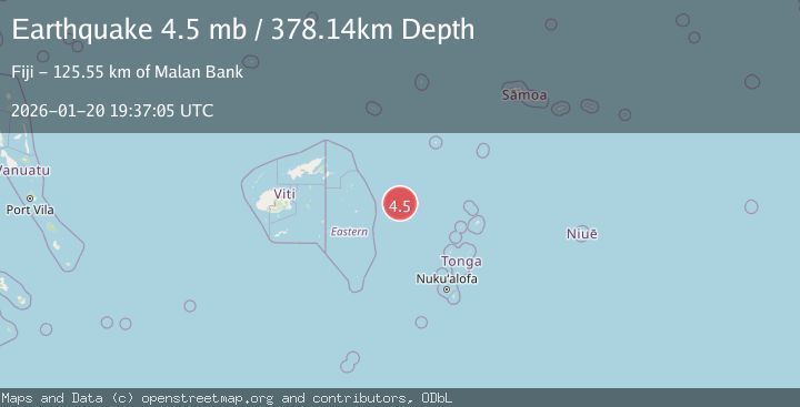
A 4.5 magnitude earthquake struck on Fiji region, at Tue, 20 Jan 2026 19:37:05 GMT. Depth: 378.138km. Reviewed by USGS seismologists, this light quake occurred at a magnitude type of mb.
Magnitude
4.5
mb
Source
USGS
Intensity
-
Agency Reports
2 Sources| Source | Magnitude | Depth | Time |
|---|---|---|---|
| USGSPrimary | 4.5 | 378 km | 2 months ago |
| EMSC | 4.5 | 368 km | 2 months ago |
Earthquake Details
ConfirmedEvent IDusgs_us7000rqxr
QualityS
Tsunami PotentialNo
Magnitude Typemb
Last Update1 month ago
Felt Reports0
Did you feel this earthquake? Report it to help others.
No reports yet
Be the first to report this earthquake!
Latest Earthquakes
Loading...
Nearby Earthquakes
4.7Mag
FIJI REGION
Time2 weeks ago
Depth350.70 km
SourceGFZ (Automatic)
4.1Mag
FIJI REGION
Time2 weeks ago
Depth394.40 km
SourceNEIC (Automatic)
4.5Mag
FIJI REGION
Time1 month ago
Depth606.00 km
SourceNEIC (Automatic)
4.3Mag
FIJI REGION
Time1 month ago
Depth648.30 km
SourceNEIC (Automatic)
4.2Mag
FIJI REGION
Time1 month ago
Depth604.80 km
SourceNEIC (Automatic)