Earthquake 84 km N of Luwuk, Indonesia
Wed, 21 Jan 2026 22:44:44 GMT
Time5 days ago
Location
-0.1991, 122.6592
Depth
92.6 KM
Event Summary
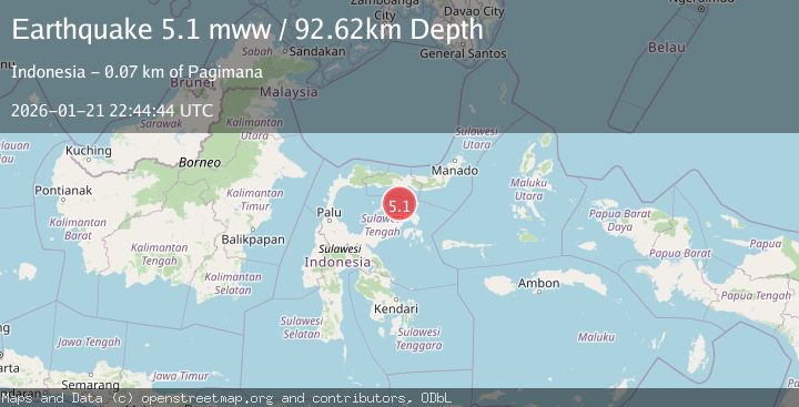
A 5.1 magnitude earthquake struck on 84 km N of Luwuk, Indonesia, at Wed, 21 Jan 2026 22:44:44 GMT. Depth: 92.624km. Reviewed by USGS seismologists, this moderate quake occurred at a magnitude type of mww.
Magnitude
5.1
mww
Source
USGS
Intensity
-
Agency Reports
1 Sources| Source | Magnitude | Depth | Time |
|---|---|---|---|
| USGSPrimary | 5.1 | 93 km | 5 days ago |
Earthquake Details
ConfirmedEvent IDusgs_us7000rr7x
Tsunami PotentialNo
Magnitude Typemww
Nearest Places
- Pulau Dondolang25.1 km
- Pulau Teloga28.9 km
- Karang Bokoboko31.6 km
- Karang Buniak31.6 km
- Tanjung Tambun31.7 km
Comments
Join the discussion about this event.
Latest Earthquakes
2.5Mag
Northern Sumatra, Indonesia
Time3 minutes ago
Depth0.60 km
SourceBMKG (Automatic)
2.1Mag
SOUTHERN TEXAS
Time4 minutes ago
Depth0.00 km
SourceTX (Automatic)
0.9Mag
EASTERN TURKEY
Time11 minutes ago
Depth6.80 km
SourceAFAD (Automatic)
2.4Mag
EASTERN TURKEY
Time14 minutes ago
Depth4.30 km
SourceKOERI (Automatic)
0.2Mag
6 km WNW of Cobb, CA
Time16 minutes ago
Depth1.56 km
SourceUSGS (Automatic)
Nearby Earthquakes
2.2Mag
Minahassa Peninsula, Sulawesi
Time4 days ago
Depth37.34 km
SourceBMKG (Automatic)
2.6Mag
Minahassa Peninsula, Sulawesi
Time2 days ago
Depth59.44 km
SourceBMKG (Automatic)
2.6Mag
Minahassa Peninsula, Sulawesi
Time3 days ago
Depth124.69 km
SourceBMKG (Automatic)
3.9Mag
Minahassa Peninsula, Sulawesi
Time5 days ago
Depth29.89 km
SourceBMKG (Automatic)
2.4Mag
Minahassa Peninsula, Sulawesi
Time4 days ago
Depth79.94 km
SourceBMKG (Automatic)