Earthquake 23 km SSW of Mammoth, Wyoming
Thu, 15 Jan 2026 15:42:13 GMT
Time12 hours ago
Location
44.7950, -110.8443
Depth
5.1 KM
Event Summary
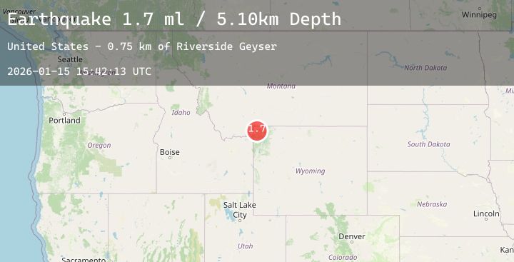
A 1.7 magnitude earthquake struck on 23 km SSW of Mammoth, Wyoming, at Thu, 15 Jan 2026 15:42:13 GMT. Depth: 5.1km. Reviewed by USGS seismologists, this minor quake occurred at a magnitude type of ml.
Magnitude
1.7
ml
Source
USGS
Intensity
-
Agency Reports
2 Sources| Source | Magnitude | Depth | Time |
|---|---|---|---|
| USGSPrimary | 1.7 | 5 km | 12 hours ago |
| USGSPrimary | 1.2 | 8 km | 11 hours ago |
Earthquake Details
ConfirmedEvent IDusgs_uu80127466
Tsunami PotentialNo
Magnitude Typeml
Nearest Places
- Riverside Geyser0.8 km
- Trilobite Point2.4 km
- Mount Holmes2.8 km
- White Peaks3.2 km
- Mount Holmes Trail4.0 km
Comments
Join the discussion about this event.
Latest Earthquakes
0.7Mag
23 km ENE of Minto, Alaska
Time3 hours ago
Depth5.00 km
SourceUSGS (Automatic)
2.5Mag
Minahassa Peninsula, Sulawesi
Time4 hours ago
Depth67.94 km
SourceBMKG (Automatic)
4.3Mag
TAIWAN
Time4 hours ago
Depth51.70 km
SourceCWB (Automatic)
5.1Mag
Halmahera, Indonesia
Time4 hours ago
Depth99.09 km
SourceBMKG (Automatic)
1.5Mag
5 km W of Walker, California
Time4 hours ago
Depth5.44 km
SourceUSGS
Nearby Earthquakes
No significant earthquakes nearby recently.