Earthquake 4 km S of Mossyrock, Washington
Mon, 28 Apr 2025 23:56:57 GMT
Time
7 months ago
Location
46.4892, -122.4893
Depth
-0.6 KM
Event Summary
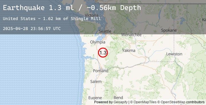
A 1.3 magnitude earthquake struck on 4 km S of Mossyrock, Washington, at Mon, 28 Apr 2025 23:56:57 GMT. Depth: -0.56km. Reviewed by USGS seismologists, this minor quake occurred at a magnitude type of ml.
Magnitude
1.3
ml
Source
USGS
Intensity
-
Earthquake Details
ConfirmedEvent IDusgs_uw62090032
Tsunami PotentialNo
Magnitude Typeml
Nearest Places
- Shingle Mill1.6 km
- South Fork Winston Creek1.7 km
- Long-Bell Mill Pond Dam1.7 km
- Long-Bell Mill Pond1.7 km
- Winston Creek Campground1.9 km
Comments
Join the discussion about this event.
Latest Earthquakes
2.2Mag
West Papua Region, Indonesia
Time
9 minutes ago
Depth10.00 km
SourceBMKG (Automatic)
3.7Mag
NEAR COAST OF ECUADOR
Time
14 minutes ago
Depth18.00 km
SourceEMSC (Automatic)
3.6Mag
NEAR COAST OF ECUADOR
Time
23 minutes ago
Depth22.00 km
SourceEMSC (Automatic)
2.4Mag
West Papua Region, Indonesia
Time
28 minutes ago
Depth10.00 km
SourceBMKG (Automatic)
2.4Mag
SOUTHERN CALIFORNIA
Time
31 minutes ago
Depth6.90 km
SourceEMSC (Automatic)
Nearby Earthquakes
No significant earthquakes nearby recently.