Earthquake 9 km SW of Grapeview, Washington
Thu, 01 Jan 2026 20:55:25 GMT
Time2 hours ago
Location
47.2735, -122.9270
Depth
33.3 KM
Event Summary
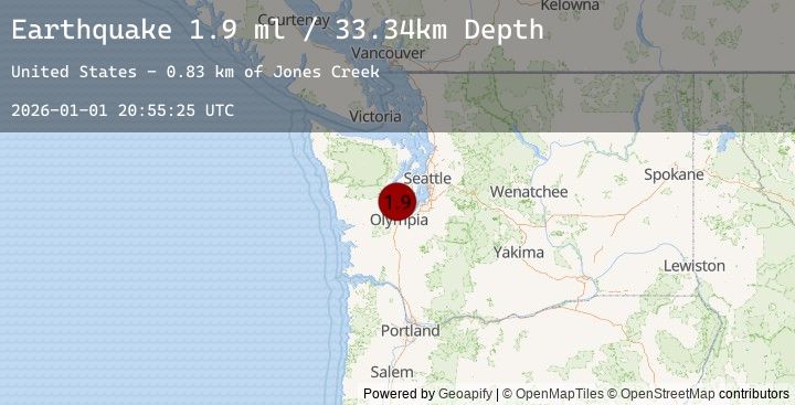
A 1.9 magnitude earthquake struck on 9 km SW of Grapeview, Washington, at Thu, 01 Jan 2026 20:55:25 GMT. Depth: 33.3400001525879km. Reviewed by USGS seismologists, this minor quake occurred at a magnitude type of ml.
Magnitude
1.9
ml
Source
USGS
Intensity
-
Agency Reports
2 Sources| Source | Magnitude | Depth | Time |
|---|---|---|---|
| USGSPrimary | 1.9 | 33 km | 2 hours ago |
| USGSPrimary | 1.6 | 18 km | 2 hours ago |
Earthquake Details
AutomaticEvent IDusgs_uw62221186
Tsunami PotentialNo
Magnitude Typeml
Nearest Places
- Jones Creek0.8 km
- Walkers Landing1.0 km
- Pickering Passage1.0 km
- Mason County Fire District 5 Station 7 Pickering1.1 km
- Hiawata Creek1.2 km
Comments
Join the discussion about this event.
Latest Earthquakes
2.1Mag
Northern Sumatra, Indonesia
Time44 minutes ago
Depth3.36 km
SourceBMKG (Automatic)
2.1Mag
WESTERN TURKEY
Time49 minutes ago
Depth12.90 km
SourceEMSC (Automatic)
3.5Mag
MINDANAO, PHILIPPINES
Time59 minutes ago
Depth10.00 km
SourcePIVS (Automatic)
2.8Mag
TARAPACA, CHILE
Time1 hour ago
Depth104.30 km
SourceCSN (Automatic)
1.8Mag
42 km ENE of San Clemente Is. (SE tip), CA
Time1 hour ago
Depth3.82 km
SourceUSGS (Automatic)