Earthquake 4 km SW of Packwood, Washington
Thu, 16 Apr 2026 18:24:29 GMT
Time1 week ago
Location
46.5813, -121.7205
Depth
8.5 KM
Event Summary
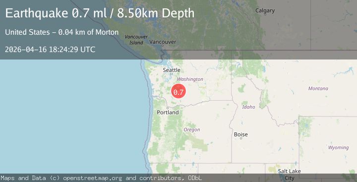
A 0.7 magnitude earthquake struck on 4 km SW of Packwood, Washington, at Thu, 16 Apr 2026 18:24:29 GMT. Depth: 8.5km. Reviewed by USGS seismologists, this minor quake occurred at a magnitude type of ml.
Magnitude
0.7
ml
Source
USGS
Intensity
-
Agency Reports
1 Sources| Source | Magnitude | Depth | Time |
|---|---|---|---|
| USGSPrimary | 0.7 | 9 km | 1 week ago |
Earthquake Details
ConfirmedEvent IDusgs_uw62243786
QualityS
Tsunami PotentialNo
Magnitude Typeml
Last Update1 week ago
Used Stations16
Felt Reports0
Did you feel this earthquake? Report it to help others.
No reports yet
Be the first to report this earthquake!
Latest Earthquakes
Loading...
Nearby Earthquakes
1.8Mag
Washington
Time20 hours ago
Depth24.05 km
SourceVYT (Automatic)
1.0Mag
Washington
Time20 hours ago
Depth0.00 km
SourceVYT (Automatic)
0.2Mag
15 km N of Packwood, Washington
Time22 hours ago
Depth4.33 km
SourceUSGS
1.3Mag
Washington
Time23 hours ago
Depth0.00 km
SourceVYT (Automatic)
1.1Mag
Washington
Time1 day ago
Depth0.00 km
SourceVYT (Automatic)