Earthquake Southern Alaska
Mon, 02 Mar 2026 19:09:27 GMT
Time2 hours ago
Location
60.0828, -153.0520
Depth
95.3 KM
Event Summary
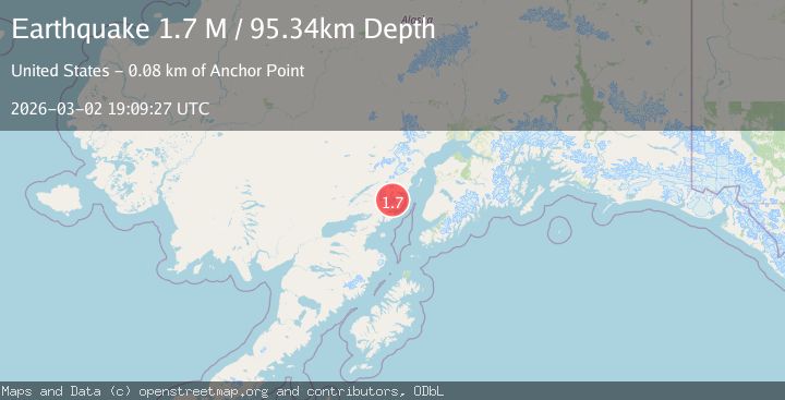
A 1.7 magnitude earthquake struck on Southern Alaska, at Mon, 02 Mar 2026 19:09:27 GMT. Depth: 95.3369140625km. Reviewed by VYT seismologists, this minor quake occurred at a magnitude type of M.
Magnitude
1.7
M
Source
VYT
Intensity
-
Agency Reports
1 Sources| Source | Magnitude | Depth | Time |
|---|---|---|---|
| VYTPrimary | 1.7 | 95 km | 2 hours ago |
Earthquake Details
AutomaticEvent IDvyt_11xlrv209opam
Tsunami PotentialNo
Magnitude TypeM
Nearest Places
- 0.3 km
- 2.6 km
- 3.8 km
- 5.4 km
- 5.9 km
Comments
Join the discussion about this event.
Latest Earthquakes
4.0Mag
south of Alaska
Time2 hours ago
Depth10.00 km
SourceVYT (Automatic)
1.4Mag
4 km ENE of Moreno Valley, CA
Time2 hours ago
Depth15.33 km
SourceUSGS (Automatic)
1.1Mag
4 km NW of The Geysers, CA
Time2 hours ago
Depth3.17 km
SourceUSGS (Automatic)
2.6Mag
western Texas
Time2 hours ago
Depth2.32 km
SourceVYT (Automatic)
1.1Mag
5 km NW of The Geysers, CA
Time2 hours ago
Depth3.27 km
SourceUSGS (Automatic)
Nearby Earthquakes
1.4Mag
Southern Alaska
Time2 weeks ago
Depth25.51 km
SourceVYT (Automatic)
2.4Mag
Southern Alaska
Time2 weeks ago
Depth126.22 km
SourceVYT (Automatic)
3.0Mag
SOUTHERN ALASKA
Time3 years ago
Depth109.00 km
SourceNEIC (Automatic)
2.4Mag
Southern Alaska
Time2 weeks ago
Depth113.28 km
SourceVYT (Automatic)
3.0Mag
SOUTHERN ALASKA
Time3 years ago
Depth129.00 km
SourceNEIC (Automatic)