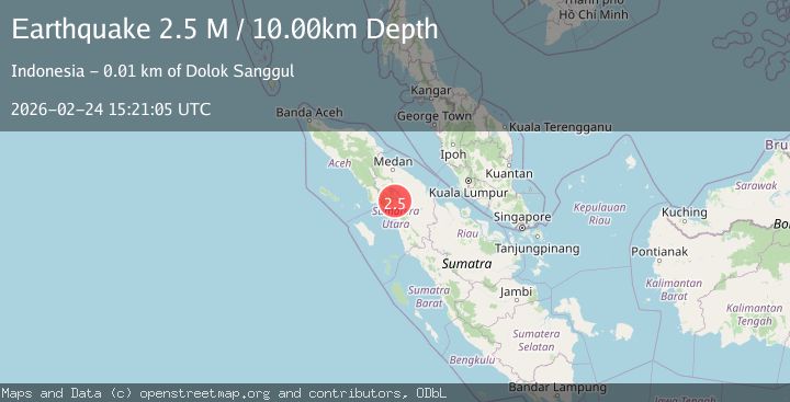
Earthquake northern Sumatra, Indonesia
Tue, 24 Feb 2026 15:21:05 GMT
Time1 hour ago
Location
2.3096, 98.6564
Depth
1.2 KM
Event Summary
A 2.7 magnitude earthquake struck on northern Sumatra, Indonesia, at Tue, 24 Feb 2026 15:21:05 GMT. Depth: 1.220703125km. Reviewed by VYT seismologists, this minor quake occurred at a magnitude type of earthquake.
Magnitude
2.7
earthquake
Source
VYT
Intensity
-
Agency Reports
1 Sources| Source | Magnitude | Depth | Time |
|---|---|---|---|
| VYTPrimary | 2.7 | 1 km | 1 hour ago |
Earthquake Details
AutomaticEvent IDvyt_143p371nyxpz3
Tsunami PotentialNo
Magnitude Typeearthquake
Nearest Places
- 1.7 km
- 2.1 km
- 5.0 km
- 5.8 km
- 6.5 km
Comments
Join the discussion about this event.
Latest Earthquakes
3.0Mag
ATACAMA, CHILE
Time1 hour ago
Depth93.70 km
SourceCSN (Automatic)
3.0Mag
Fox Islands, Aleutian Islands, Alaska
Time1 hour ago
Depth0.00 km
SourceVYT (Automatic)
1.9Mag
10 km ENE of Pāhala, Hawaii
Time1 hour ago
Depth31.60 km
SourceUSGS (Automatic)
3.3Mag
Fox Islands, Aleutian Islands, Alaska
Time1 hour ago
Depth0.00 km
SourceVYT (Automatic)
3.4Mag
Fox Islands, Aleutian Islands, Alaska
Time1 hour ago
Depth0.00 km
SourceVYT (Automatic)
Nearby Earthquakes
5.2Mag
NORTHERN SUMATRA, INDONESIA
Time2 years ago
Depth100.00 km
SourceEMSC (Automatic)
2.7Mag
Northern Sumatra, Indonesia
Time1 month ago
Depth8.59 km
SourceBMKG (Automatic)
2.6Mag
Northern Sumatra, Indonesia
Time2 weeks ago
Depth138.44 km
SourceBMKG (Automatic)
2.5Mag
NORTHERN SUMATRA, INDONESIA
Time1 month ago
Depth13.00 km
SourceBMKG (Automatic)
2.5Mag
NORTHERN SUMATRA, INDONESIA
Time1 month ago
Depth1.00 km
SourceBMKG (Automatic)