Earthquake Central Alaska
Thu, 12 Feb 2026 10:31:21 GMT
Time6 days ago
Location
63.4603, -147.4400
Depth
0.0 KM
Event Summary
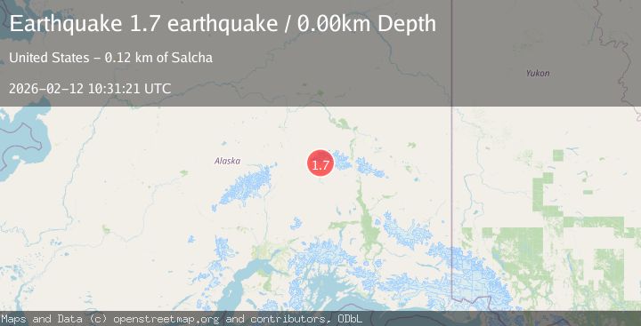
A 1.7 magnitude earthquake struck on Central Alaska, at Thu, 12 Feb 2026 10:31:21 GMT. Depth: 0km. Reviewed by VYT seismologists, this minor quake occurred at a magnitude type of earthquake.
Magnitude
1.7
earthquake
Source
VYT
Intensity
-
Agency Reports
1 Sources| Source | Magnitude | Depth | Time |
|---|---|---|---|
| VYTPrimary | 1.7 | 0 km | 6 days ago |
Earthquake Details
AutomaticEvent IDvyt_17hxnkfr50bpj
Tsunami PotentialNo
Magnitude Typeearthquake
Nearest Places
- West Fork Glacier12.1 km
- Susitna Glacier12.3 km
- Nenana Glacier12.8 km
- East Fork Susitna River16.9 km
- Boulder Creek17.3 km
Comments
Join the discussion about this event.
Latest Earthquakes
1.1Mag
Washington
Time2 minutes ago
Depth9.64 km
SourceVYT (Automatic)
1.9Mag
32 km NW of Toyah, Texas
Time4 minutes ago
Depth4.09 km
SourceUSGS (Automatic)
1.7Mag
western Texas
Time7 minutes ago
Depth3.42 km
SourceVYT (Automatic)
3.8Mag
Seram, Indonesia
Time9 minutes ago
Depth0.00 km
SourceVYT (Automatic)
1.6Mag
54 km WNW of Toyah, Texas
Time15 minutes ago
Depth0.00 km
SourceUSGS (Automatic)
Nearby Earthquakes
2.0Mag
Central Alaska
Time5 days ago
Depth8.30 km
SourceVYT (Automatic)
5.2Mag
CENTRAL ALASKA
Time20 years ago
Depth20.00 km
SourceEMSC (Automatic)
1.2Mag
Central Alaska
Time3 days ago
Depth20.75 km
SourceVYT (Automatic)
2.2Mag
Central Alaska
Time4 days ago
Depth69.09 km
SourceVYT (Automatic)
3.0Mag
CENTRAL ALASKA
Time8 years ago
Depth6.00 km
SourceNEIR (Automatic)