Earthquake Western Australia
Fri, 13 Feb 2026 10:30:07 GMT
Time5 days ago
Location
-17.8496, 128.0667
Depth
232.8 KM
Event Summary
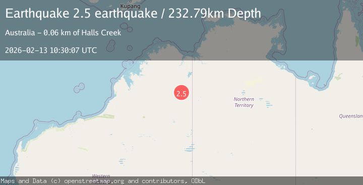
A 2.5 magnitude earthquake struck on Western Australia, at Fri, 13 Feb 2026 10:30:07 GMT. Depth: 232.7880859375km. Reviewed by VYT seismologists, this minor quake occurred at a magnitude type of earthquake.
Magnitude
2.5
earthquake
Source
VYT
Intensity
-
Agency Reports
1 Sources| Source | Magnitude | Depth | Time |
|---|---|---|---|
| VYTPrimary | 2.5 | 233 km | 5 days ago |
Earthquake Details
AutomaticEvent IDvyt_1ahh0k2j2zmn4
Tsunami PotentialNo
Magnitude Typeearthquake
Nearest Places
- Sauanders Creek2.6 km
- Bay of Biscay Hills7.6 km
- Grant Peak8.5 km
- Black Duck Creek11.5 km
- Elvire River12.3 km
Comments
Join the discussion about this event.
Latest Earthquakes
2.3Mag
Antofagasta, Chile
Time4 minutes ago
Depth58.47 km
SourceVYT (Automatic)
1.4Mag
Southeastern Alaska
Time9 minutes ago
Depth0.00 km
SourceVYT (Automatic)
1.8Mag
Southern Alaska
Time14 minutes ago
Depth10.00 km
SourceVYT (Automatic)
2.0Mag
Southern Alaska
Time16 minutes ago
Depth29.91 km
SourceVYT (Automatic)
2.6Mag
WESTERN TURKEY
Time17 minutes ago
Depth5.00 km
SourceKOERI (Automatic)
Nearby Earthquakes
2.0Mag
WESTERN AUSTRALIA
Time1 month ago
Depth10.00 km
SourceAUST (Automatic)
3.0Mag
WESTERN AUSTRALIA
Time11 months ago
Depth10.00 km
SourceAUST (Automatic)
2.8Mag
Western Australia
Time5 days ago
Depth10.00 km
SourceVYT (Automatic)
3.0Mag
WESTERN AUSTRALIA
Time1 year ago
Depth10.00 km
SourceAUST (Automatic)
3.0Mag
WESTERN AUSTRALIA
Time2 years ago
Depth8.00 km
SourceAUST (Automatic)