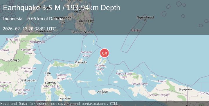
Earthquake Halmahera, Indonesia
Tue, 17 Feb 2026 20:37:50 GMT
Time12 hours ago
Location
2.4321, 129.0997
Depth
287.7 KM
Event Summary
A 3.7 magnitude earthquake struck on Halmahera, Indonesia, at Tue, 17 Feb 2026 20:37:50 GMT. Depth: 287.7197265625km. Reviewed by VYT seismologists, this minor quake occurred at a magnitude type of earthquake.
Magnitude
3.7
earthquake
Source
VYT
Intensity
-
Agency Reports
1 Sources| Source | Magnitude | Depth | Time |
|---|---|---|---|
| VYTPrimary | 3.7 | 288 km | 12 hours ago |
Earthquake Details
AutomaticEvent IDvyt_1aq7vr90aqhpg
Tsunami PotentialNo
Magnitude Typeearthquake
Nearest Places
- Tanjung Selepia45.1 km
- Tanjung Misio45.4 km
- Gurua45.5 km
- Tanjung Baru46.0 km
- Tanjung Roringosa46.4 km
Comments
Join the discussion about this event.
Latest Earthquakes
3.7Mag
Rat Islands, Aleutian Islands, Alaska
Time12 hours ago
Depth59.08 km
SourceVYT (Automatic)
3.5Mag
Salta, Argentina
Time12 hours ago
Depth191.77 km
SourceVYT (Automatic)
2.1Mag
western Texas
Time12 hours ago
Depth0.12 km
SourceVYT (Automatic)
2.0Mag
Southern Alaska
Time12 hours ago
Depth0.00 km
SourceVYT (Automatic)
1.9Mag
western Texas
Time12 hours ago
Depth5.00 km
SourceVYT (Automatic)
Nearby Earthquakes
4.0Mag
HALMAHERA, INDONESIA
Time6 years ago
Depth10.00 km
SourceDJA (Automatic)
4.0Mag
HALMAHERA, INDONESIA
Time3 years ago
Depth10.00 km
SourceNEIC (Automatic)
3.2Mag
Halmahera, Indonesia
Time1 week ago
Depth10.00 km
SourceBMKG (Automatic)
4.0Mag
HALMAHERA, INDONESIA
Time7 years ago
Depth10.00 km
SourceDJA (Automatic)
5.2Mag
HALMAHERA, INDONESIA
Time2 years ago
Depth10.00 km
SourceEMSC (Automatic)