Earthquake southern Sumatra, Indonesia
Sun, 15 Feb 2026 22:47:50 GMT
Time4 days ago
Location
-1.7167, 102.2443
Depth
19.5 KM
Event Summary
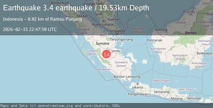
A 3.4 magnitude earthquake struck on southern Sumatra, Indonesia, at Sun, 15 Feb 2026 22:47:50 GMT. Depth: 19.53125km. Reviewed by VYT seismologists, this minor quake occurred at a magnitude type of earthquake.
Magnitude
3.4
earthquake
Source
VYT
Intensity
-
Agency Reports
1 Sources| Source | Magnitude | Depth | Time |
|---|---|---|---|
| VYTPrimary | 3.4 | 20 km | 4 days ago |
Earthquake Details
AutomaticEvent IDvyt_1d1c0wpabowbu
Tsunami PotentialNo
Magnitude Typeearthquake
Nearest Places
- Desa Mulya Jaya1.3 km
- Bukit Luncung4.4 km
- Bukit Luncung5.1 km
- Desa Dwi Karya Bakti5.4 km
- Desa Koto Rayo5.7 km
Comments
Join the discussion about this event.
Latest Earthquakes
3.6Mag
Southeastern Alaska
Time3 minutes ago
Depth0.00 km
SourceVYT (Automatic)
2.5Mag
West Papua Region, Indonesia
Time4 minutes ago
Depth10.00 km
SourceBMKG
2.2Mag
Tarapaca, Chile
Time9 minutes ago
Depth103.76 km
SourceVYT (Automatic)
1.4Mag
9 km WSW of Stanton, Texas
Time12 minutes ago
Depth2.29 km
SourceUSGS (Automatic)
2.8Mag
South of Java, Indonesia
Time12 minutes ago
Depth10.00 km
SourceBMKG
Nearby Earthquakes
4.0Mag
SOUTHERN SUMATRA, INDONESIA
Time11 months ago
Depth202.00 km
SourceBMKG (Automatic)
3.0Mag
SOUTHERN SUMATRA, INDONESIA
Time3 years ago
Depth178.00 km
SourceDJA (Automatic)
3.3Mag
SOUTHERN SUMATRA, INDONESIA
Time1 month ago
Depth181.00 km
SourceBMKG (Automatic)
4.0Mag
SOUTHERN SUMATRA, INDONESIA
Time4 years ago
Depth199.00 km
SourceNEIC (Automatic)
3.1Mag
southern Sumatra, Indonesia
Time1 week ago
Depth0.00 km
SourceVYT (Automatic)