Earthquake Western Australia
Wed, 11 Feb 2026 22:33:46 GMT
Time1 week ago
Location
-14.7771, 127.2467
Depth
672.6 KM
Event Summary
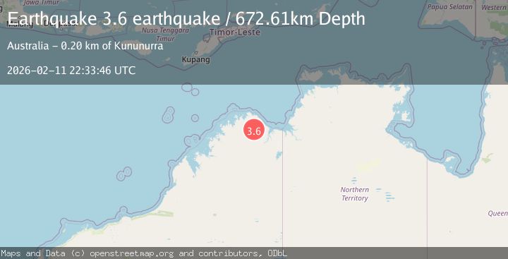
A 3.6 magnitude earthquake struck on Western Australia, at Wed, 11 Feb 2026 22:33:46 GMT. Depth: 672.607421875km. Reviewed by VYT seismologists, this minor quake occurred at a magnitude type of earthquake.
Magnitude
3.6
earthquake
Source
VYT
Intensity
-
Agency Reports
1 Sources| Source | Magnitude | Depth | Time |
|---|---|---|---|
| VYTPrimary | 3.6 | 673 km | 1 week ago |
Earthquake Details
AutomaticEvent IDvyt_1e9121il7iohm
Tsunami PotentialNo
Magnitude Typeearthquake
Nearest Places
- Drysdale River National Park18.5 km
- Collison Range18.8 km
- Mount Booton32.7 km
- Campbell Range37.9 km
- Wallis Peak38.1 km
Comments
Join the discussion about this event.
Latest Earthquakes
2.7Mag
Flores region, Indonesia
Time1 minute ago
Depth43.09 km
SourceVYT (Automatic)
1.7Mag
Southeastern Alaska
Time6 minutes ago
Depth26.25 km
SourceVYT (Automatic)
5.7Mag
Minahasa, Sulawesi, Indonesia
Time13 minutes ago
Depth31.98 km
SourceVYT (Automatic)
1.4Mag
Southern Alaska
Time18 minutes ago
Depth24.41 km
SourceVYT (Automatic)
1.9Mag
Southeastern Alaska
Time20 minutes ago
Depth0.00 km
SourceVYT (Automatic)
Nearby Earthquakes
2.9Mag
Northern Territory, Australia
Time2 hours ago
Depth54.08 km
SourceVYT (Automatic)
3.0Mag
WESTERN AUSTRALIA
Time2 years ago
Depth8.00 km
SourceAUST (Automatic)
2.7Mag
WESTERN AUSTRALIA
Time1 month ago
Depth21.00 km
SourceAUST (Automatic)
3.0Mag
WESTERN AUSTRALIA
Time1 year ago
Depth10.00 km
SourceAUST (Automatic)
3.0Mag
WESTERN AUSTRALIA
Time3 years ago
Depth10.00 km
SourceAUST (Automatic)