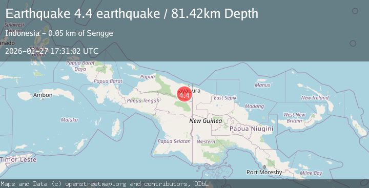
Earthquake Papua, Indonesia
Fri, 27 Feb 2026 17:31:02 GMT
Time1 hour ago
Location
-3.2714, 140.3224
Depth
81.4 KM
Event Summary
A 4.4 magnitude earthquake struck on Papua, Indonesia, at Fri, 27 Feb 2026 17:31:02 GMT. Depth: 81.4208984375km. Reviewed by VYT seismologists, this light quake occurred at a magnitude type of earthquake.
Magnitude
4.4
earthquake
Source
VYT
Intensity
-
Agency Reports
2 Sources| Source | Magnitude | Depth | Time |
|---|---|---|---|
| VYTPrimary | 4.4 | 81 km | 1 hour ago |
| BMKG | 4.3 | 46 km | 1 hour ago |
Earthquake Details
AutomaticEvent IDvyt_1gzmsr066m8bt
Tsunami PotentialNo
Magnitude Typeearthquake
Nearest Places
- 10.1 km
- 10.8 km
- 19.2 km
- 21.2 km
- 21.8 km
Comments
Join the discussion about this event.
Latest Earthquakes
2.3Mag
Antofagasta, Chile
Time1 hour ago
Depth10.74 km
SourceVYT (Automatic)
2.6Mag
South of Bali, Indonesia
Time1 hour ago
Depth25.47 km
SourceBMKG
3.9Mag
OFF COAST OF COSTA RICA
Time1 hour ago
Depth1.00 km
SourceINET (Automatic)
2.3Mag
Poland
Time1 hour ago
Depth0.85 km
SourceVYT (Automatic)
2.2Mag
2 km NW of The Geysers, CA
Time1 hour ago
Depth0.88 km
SourceUSGS (Automatic)
Nearby Earthquakes
2.5Mag
West Papua, Indonesia
Time2 days ago
Depth58.50 km
SourceBMKG
3.0Mag
PAPUA, INDONESIA
Time5 years ago
Depth10.00 km
SourceDJA (Automatic)
4.0Mag
PAPUA, INDONESIA
Time2 years ago
Depth118.00 km
SourceBMKG (Automatic)
2.9Mag
PAPUA, INDONESIA
Time1 month ago
Depth14.00 km
SourceBMKG (Automatic)
2.3Mag
West Papua, Indonesia
Time1 week ago
Depth57.69 km
SourceBMKG