Earthquake southern Sumatra, Indonesia
Fri, 13 Feb 2026 00:32:07 GMT
Time1 week ago
Location
-1.2582, 101.1700
Depth
0.0 KM
Event Summary
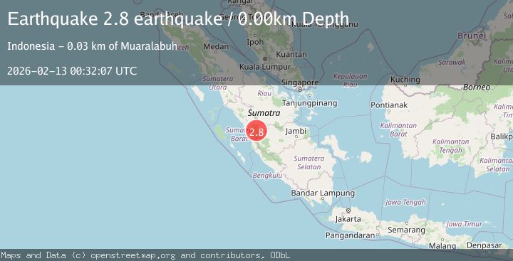
A 2.8 magnitude earthquake struck on southern Sumatra, Indonesia, at Fri, 13 Feb 2026 00:32:07 GMT. Depth: 0km. Reviewed by VYT seismologists, this minor quake occurred at a magnitude type of earthquake.
Magnitude
2.8
earthquake
Source
VYT
Intensity
-
Agency Reports
1 Sources| Source | Magnitude | Depth | Time |
|---|---|---|---|
| VYTPrimary | 2.8 | 0 km | 1 week ago |
Earthquake Details
AutomaticEvent IDvyt_1q6mcsn79wti4
Tsunami PotentialNo
Magnitude Typeearthquake
Nearest Places
- 0.7 km
- 2.4 km
- 3.0 km
- 3.1 km
- 3.6 km
Comments
Join the discussion about this event.
Latest Earthquakes
3.7Mag
Flores Sea
Time6 hours ago
Depth246.95 km
SourceVYT (Automatic)
2.0Mag
FRANCE
Time6 hours ago
Depth0.00 km
SourceReNaSS (Automatic)
4.5Mag
74 km W of Kailua-Kona, Hawaii
Time6 hours ago
Depth149.87 km
SourceUSGS (Automatic)
0.7Mag
21 km E of Little Lake, CA
Time6 hours ago
Depth2.70 km
SourceUSGS (Automatic)
2.1Mag
Finland
Time6 hours ago
Depth0.00 km
SourceVYT (Automatic)
Nearby Earthquakes
3.0Mag
SOUTHERN SUMATRA, INDONESIA
Time4 months ago
Depth150.00 km
SourceBMKG (Automatic)
3.0Mag
SOUTHERN SUMATRA, INDONESIA
Time5 months ago
Depth160.00 km
SourceBMKG (Automatic)
2.6Mag
Southern Sumatra, Indonesia
Time1 month ago
Depth10.00 km
SourceBMKG (Automatic)
2.1Mag
Southern Sumatra, Indonesia
Time1 week ago
Depth14.65 km
SourceBMKG
3.0Mag
SOUTHERN SUMATRA, INDONESIA
Time5 months ago
Depth10.00 km
SourceBMKG (Automatic)