Earthquake 74 km W of Kailua-Kona, Hawaii
Sun, 22 Feb 2026 17:09:04 GMT
Time1 hour ago
Location
19.5200, -156.7008
Depth
149.9 KM
Event Summary
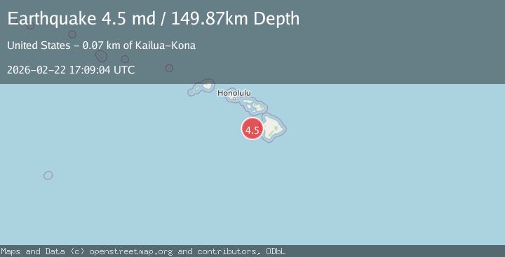
A 4.5 magnitude earthquake struck on 74 km W of Kailua-Kona, Hawaii, at Sun, 22 Feb 2026 17:09:04 GMT. Depth: 149.869995117188km. Reviewed by USGS seismologists, this light quake occurred at a magnitude type of md.
Magnitude
4.5
md
Source
USGS
Intensity
-
Agency Reports
1 Sources| Source | Magnitude | Depth | Time |
|---|---|---|---|
| USGSPrimary | 4.5 | 150 km | 1 hour ago |
Earthquake Details
AutomaticEvent IDusgs_hv74905636
Tsunami PotentialNo
Magnitude Typemd
Nearest Places
- 12.6 km
- 29.9 km
- 34.9 km
- 54.6 km
- 64.8 km
Comments
Join the discussion about this event.
Latest Earthquakes
3.7Mag
Flores Sea
Time1 hour ago
Depth246.95 km
SourceVYT (Automatic)
2.0Mag
FRANCE
Time1 hour ago
Depth0.00 km
SourceReNaSS (Automatic)
0.7Mag
21 km E of Little Lake, CA
Time1 hour ago
Depth2.70 km
SourceUSGS (Automatic)
2.1Mag
Finland
Time1 hour ago
Depth0.00 km
SourceVYT (Automatic)
1.5Mag
Finland
Time1 hour ago
Depth0.00 km
SourceVYT (Automatic)
Nearby Earthquakes
3.0Mag
HAWAII REGION, HAWAII
Time9 years ago
Depth20.00 km
SourceNEIC (Automatic)
3.4Mag
HAWAII REGION, HAWAII
Time3 days ago
Depth4.70 km
SourceHV (Automatic)
1.7Mag
51 km WSW of Kailua-Kona, Hawaii
Time5 days ago
Depth0.32 km
SourceUSGS (Automatic)
3.0Mag
HAWAII REGION, HAWAII
Time6 years ago
Depth34.00 km
SourceNEIR (Automatic)
3.0Mag
HAWAII REGION, HAWAII
Time2 years ago
Depth39.80 km
SourceNEIC (Automatic)