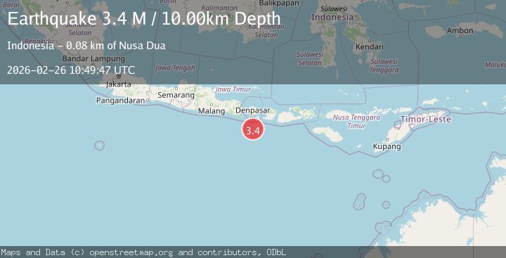
Earthquake south of Bali, Indonesia
Thu, 26 Feb 2026 10:49:49 GMT
Time1 hour ago
Location
-9.4188, 115.2148
Depth
80.0 KM
Event Summary
A 3.3 magnitude earthquake struck on south of Bali, Indonesia, at Thu, 26 Feb 2026 10:49:49 GMT. Depth: 79.9560546875km. Reviewed by VYT seismologists, this minor quake occurred at a magnitude type of earthquake.
Magnitude
3.3
earthquake
Source
VYT
Intensity
-
Agency Reports
1 Sources| Source | Magnitude | Depth | Time |
|---|---|---|---|
| VYTPrimary | 3.3 | 80 km | 1 hour ago |
Earthquake Details
AutomaticEvent IDvyt_1tk0jrdmju4zm
Tsunami PotentialNo
Magnitude Typeearthquake
Nearest Places
- 62.2 km
- 63.7 km
- 63.7 km
- 63.8 km
- 63.9 km
Comments
Join the discussion about this event.
Latest Earthquakes
2.9Mag
Alaska Peninsula
Time1 hour ago
Depth0.00 km
SourceVYT (Automatic)
2.5Mag
near the coast of southern Peru
Time1 hour ago
Depth79.96 km
SourceVYT (Automatic)
2.8Mag
Minahassa Peninsula, Sulawesi
Time1 hour ago
Depth13.71 km
SourceBMKG
3.4Mag
Minahasa, Sulawesi, Indonesia
Time1 hour ago
Depth7.93 km
SourceVYT (Automatic)
2.4Mag
Timor Region
Time1 hour ago
Depth0.52 km
SourceBMKG
Nearby Earthquakes
3.0Mag
SOUTH OF BALI, INDONESIA
Time1 year ago
Depth23.00 km
SourceBMKG (Automatic)
3.4Mag
SOUTH OF BALI, INDONESIA
Time1 month ago
Depth34.00 km
SourceBMKG (Automatic)
3.1Mag
SOUTH OF BALI, INDONESIA
Time2 months ago
Depth47.00 km
SourceBMKG (Automatic)
2.5Mag
SOUTH OF BALI, INDONESIA
Time1 month ago
Depth32.00 km
SourceBMKG (Automatic)
3.0Mag
SOUTH OF BALI, INDONESIA
Time10 months ago
Depth44.00 km
SourceBMKG (Automatic)