Earthquake Mount Shasta area, California
Sun, 15 Mar 2026 05:07:02 GMT
Low Quality Data Warning
This earthquake may be wrong/incorrect, it is recommended not to spread this information because there is a possibility that further updates are needed for data accuracy.
Time1 month ago
Location
41.3436, -122.1625
Depth
4.3 KM
Event Summary
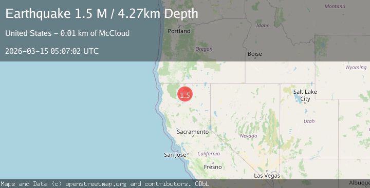
A 1.5 magnitude earthquake struck on Mount Shasta area, California, at Sun, 15 Mar 2026 05:07:02 GMT. Depth: 4.2724609375km. Reviewed by VYT seismologists, this minor quake occurred at a magnitude type of M.
Magnitude
1.5
M
Source
VYT
Intensity
-
Agency Reports
1 Sources| Source | Magnitude | Depth | Time |
|---|---|---|---|
| VYTPrimary | 1.5 | 4 km | 1 month ago |
Earthquake Details
AutomaticEvent IDvyt_1uud1im6b0jxw
QualityD
Tsunami PotentialNo
Magnitude TypeM
Last Update1 month ago
Total Stations4
Felt Reports0
Did you feel this earthquake? Report it to help others.
No reports yet
Be the first to report this earthquake!
Latest Earthquakes
Loading...
Nearby Earthquakes
1.9Mag
15 km NNW of Viola, CA
Time2 days ago
Depth1.02 km
SourceUSGS (Automatic)
2.1Mag
Northern California
Time6 days ago
Depth22.22 km
SourceVYT (Automatic)
2.1Mag
Northern California
Time1 week ago
Depth16.60 km
SourceVYT (Automatic)
1.7Mag
16 km NW of Big Bend, CA
Time2 weeks ago
Depth7.29 km
SourceUSGS (Automatic)
2.1Mag
Northern California
Time2 weeks ago
Depth69.46 km
SourceVYT (Automatic)