Earthquake Southern Alaska
Tue, 17 Feb 2026 06:29:49 GMT
Time1 day ago
Location
61.7679, -147.1133
Depth
33.1 KM
Event Summary
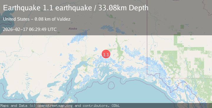
A 1.1 magnitude earthquake struck on Southern Alaska, at Tue, 17 Feb 2026 06:29:49 GMT. Depth: 33.0810546875km. Reviewed by VYT seismologists, this minor quake occurred at a magnitude type of earthquake.
Magnitude
1.1
earthquake
Source
VYT
Intensity
-
Agency Reports
1 Sources| Source | Magnitude | Depth | Time |
|---|---|---|---|
| VYTPrimary | 1.1 | 33 km | 1 day ago |
Earthquake Details
AutomaticEvent IDvyt_1xgfwaa918n25
Tsunami PotentialNo
Magnitude Typeearthquake
Nearest Places
- Little Lake6.0 km
- Barnette Creek8.3 km
- Goober Lake9.5 km
- Hunter Lake11.5 km
- Long Lake13.3 km
Comments
Join the discussion about this event.
Latest Earthquakes
1.4Mag
Central Alaska
Time11 minutes ago
Depth0.00 km
SourceVYT (Automatic)
1.4Mag
western Texas
Time12 minutes ago
Depth6.84 km
SourceVYT (Automatic)
1.3Mag
Southern Alaska
Time13 minutes ago
Depth96.80 km
SourceVYT (Automatic)
2.2Mag
Java, Indonesia
Time13 minutes ago
Depth97.25 km
SourceBMKG
2.9Mag
Ceram Sea
Time14 minutes ago
Depth12.69 km
SourceBMKG
Nearby Earthquakes
1.7Mag
28 km S of Eureka Roadhouse, Alaska
Time1 week ago
Depth25.70 km
SourceUSGS (Automatic)
1.8Mag
22 km SSE of Eureka Roadhouse, Alaska
Time2 weeks ago
Depth35.50 km
SourceUSGS (Automatic)
2.1Mag
31 km S of Eureka Roadhouse, Alaska
Time1 week ago
Depth20.60 km
SourceUSGS (Automatic)
1.2Mag
Southern Alaska
Time5 days ago
Depth10.00 km
SourceVYT (Automatic)
1.5Mag
32 km S of Eureka Roadhouse, Alaska
Time3 weeks ago
Depth19.10 km
SourceUSGS (Automatic)