Earthquake Western Australia
Fri, 13 Feb 2026 16:14:35 GMT
Time1 week ago
Location
-20.3530, 128.7452
Depth
226.9 KM
Event Summary
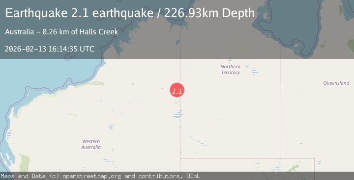
A 2.1 magnitude earthquake struck on Western Australia, at Fri, 13 Feb 2026 16:14:35 GMT. Depth: 226.9287109375km. Reviewed by VYT seismologists, this minor quake occurred at a magnitude type of earthquake.
Magnitude
2.1
earthquake
Source
VYT
Intensity
-
Agency Reports
1 Sources| Source | Magnitude | Depth | Time |
|---|---|---|---|
| VYTPrimary | 2.1 | 227 km | 1 week ago |
Earthquake Details
AutomaticEvent IDvyt_2028k3zaq36g1
Tsunami PotentialNo
Magnitude Typeearthquake
Nearest Places
- 14.5 km
- 15.8 km
- 20.1 km
- 21.5 km
- 21.8 km
Comments
Join the discussion about this event.
Latest Earthquakes
0.6Mag
9 km NW of The Geysers, CA
Time5 hours ago
Depth2.06 km
SourceUSGS (Automatic)
1.2Mag
WESTERN TURKEY
Time5 hours ago
Depth7.60 km
SourceAFAD (Automatic)
3.5Mag
Flores region, Indonesia
Time5 hours ago
Depth638.55 km
SourceVYT (Automatic)
3.2Mag
South of Java, Indonesia
Time5 hours ago
Depth64.99 km
SourceBMKG
2.1Mag
Java, Indonesia
Time5 hours ago
Depth128.82 km
SourceBMKG
Nearby Earthquakes
3.0Mag
WESTERN AUSTRALIA
Time8 years ago
Depth10.00 km
SourceAUST (Automatic)
2.7Mag
WESTERN AUSTRALIA
Time1 month ago
Depth22.00 km
SourceAUST (Automatic)
2.7Mag
WESTERN AUSTRALIA
Time1 month ago
Depth36.00 km
SourceAUST (Automatic)
3.0Mag
WESTERN AUSTRALIA
Time2 years ago
Depth10.00 km
SourceAUST (Automatic)
3.0Mag
WESTERN AUSTRALIA
Time1 year ago
Depth5.00 km
SourceAUST (Automatic)