Earthquake Seram, Indonesia
Thu, 12 Feb 2026 06:02:36 GMT
Time1 week ago
Location
-3.3452, 130.3847
Depth
111.6 KM
Event Summary
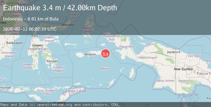
A 3.4 magnitude earthquake struck on Seram, Indonesia, at Thu, 12 Feb 2026 06:02:36 GMT. Depth: 111.572265625km. Reviewed by VYT seismologists, this minor quake occurred at a magnitude type of earthquake.
Magnitude
3.4
earthquake
Source
VYT
Intensity
-
Agency Reports
2 Sources| Source | Magnitude | Depth | Time |
|---|---|---|---|
| VYTPrimary | 3.2 | 112 km | 1 week ago |
| BMKG | 3.4 | 42 km | 1 week ago |
Earthquake Details
AutomaticEvent IDvyt_2b2i48oepno6p
Tsunami PotentialNo
Magnitude Typeearthquake
Nearest Places
- Kabupaten Seram Bagian Timur6.0 km
- Pegunungan Waelila11.0 km
- Bamyof11.2 km
- Desa Batuasa12.0 km
- Wae Kali12.8 km
Comments
Join the discussion about this event.
Latest Earthquakes
2.0Mag
Kenai Peninsula, Alaska
Time1 minute ago
Depth72.27 km
SourceVYT (Automatic)
2.0Mag
Central Alaska
Time5 minutes ago
Depth216.92 km
SourceVYT (Automatic)
1.8Mag
Region Metropolitana, Chile
Time8 minutes ago
Depth14.89 km
SourceVYT (Automatic)
4.9Mag
Kepulauan Aru region, Indonesia
Time9 minutes ago
Depth0.00 km
SourceVYT (Automatic)
2.5Mag
Poland
Time9 minutes ago
Depth0.24 km
SourceVYT (Automatic)
Nearby Earthquakes
4.0Mag
SERAM, INDONESIA
Time1 year ago
Depth13.00 km
SourceBMKG (Automatic)
2.5Mag
SERAM, INDONESIA
Time1 month ago
Depth10.00 km
SourceBMKG (Automatic)
3.0Mag
SERAM, INDONESIA
Time5 years ago
Depth10.00 km
SourceDJA (Automatic)
2.8Mag
Seram, Indonesia
Time2 weeks ago
Depth12.13 km
SourceBMKG (Automatic)
3.0Mag
SERAM, INDONESIA
Time4 years ago
Depth10.00 km
SourceDJA (Automatic)