Earthquake Southeastern Alaska
Wed, 18 Feb 2026 20:40:51 GMT
Time1 hour ago
Location
60.6225, -139.8464
Depth
0.0 KM
Event Summary
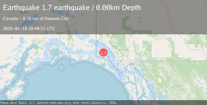
A 1.7 magnitude earthquake struck on Southeastern Alaska, at Wed, 18 Feb 2026 20:40:51 GMT. Depth: 0km. Reviewed by VYT seismologists, this minor quake occurred at a magnitude type of earthquake.
Magnitude
1.7
earthquake
Source
VYT
Intensity
-
Agency Reports
1 Sources| Source | Magnitude | Depth | Time |
|---|---|---|---|
| VYTPrimary | 1.7 | 0 km | 1 hour ago |
Earthquake Details
AutomaticEvent IDvyt_2gbpdof2l2o6b
Tsunami PotentialNo
Magnitude Typeearthquake
Nearest Places
- Mount Queen Mary6.6 km
- Mount King George10.7 km
- Marker Lake14.5 km
- McArthur Peak20.1 km
- St. Elias Mountains22.1 km
Comments
Join the discussion about this event.
Latest Earthquakes
1.1Mag
Gaspe Peninsula, Quebec, Canada
Time1 hour ago
Depth0.00 km
SourceVYT (Automatic)
0.7Mag
Southern Alaska
Time1 hour ago
Depth0.00 km
SourceVYT (Automatic)
2.2Mag
Tarapaca, Chile
Time1 hour ago
Depth0.12 km
SourceVYT (Automatic)
3.7Mag
Adriatic Sea
Time1 hour ago
Depth10.00 km
SourceVYT (Automatic)
1.2Mag
4 km W of Lake Henshaw, CA
Time1 hour ago
Depth12.20 km
SourceUSGS (Automatic)
Nearby Earthquakes
2.6Mag
Southeastern Alaska
Time3 days ago
Depth0.00 km
SourceVYT (Automatic)
3.0Mag
SOUTHERN YUKON TERRITORY, CANADA
Time2 months ago
Depth5.00 km
SourceNEIC (Automatic)
2.6Mag
SOUTHERN YUKON TERRITORY, CANADA
Time1 month ago
Depth5.00 km
SourceNEIC (Automatic)
2.7Mag
SOUTHERN YUKON TERRITORY, CANADA
Time1 month ago
Depth4.10 km
SourceNEIC (Automatic)
3.5Mag
SOUTHERN YUKON TERRITORY, CANADA
Time1 month ago
Depth5.00 km
SourceNEIC (Automatic)