Earthquake Southeastern Alaska
Tue, 17 Feb 2026 21:36:56 GMT
Time13 hours ago
Location
60.5753, -140.1729
Depth
0.0 KM
Event Summary
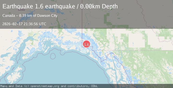
A 1.6 magnitude earthquake struck on Southeastern Alaska, at Tue, 17 Feb 2026 21:36:56 GMT. Depth: 0km. Reviewed by VYT seismologists, this minor quake occurred at a magnitude type of earthquake.
Magnitude
1.6
earthquake
Source
VYT
Intensity
-
Agency Reports
1 Sources| Source | Magnitude | Depth | Time |
|---|---|---|---|
| VYTPrimary | 1.6 | 0 km | 13 hours ago |
Earthquake Details
AutomaticEvent IDvyt_2gywhjns77itz
Tsunami PotentialNo
Magnitude Typeearthquake
Nearest Places
- McArthur Peak4.1 km
- Marker Lake12.3 km
- Mount Logan12.7 km
- Mount King George21.6 km
- Mount Queen Mary25.1 km
Comments
Join the discussion about this event.
Latest Earthquakes
3.0Mag
Halmahera, Indonesia
Time4 hours ago
Depth126.49 km
SourceBMKG
3.5Mag
La Rioja, Argentina
Time4 hours ago
Depth10.00 km
SourceVYT (Automatic)
1.3Mag
22 km ESE of Anza, CA
Time4 hours ago
Depth13.66 km
SourceUSGS (Automatic)
2.7Mag
Tarapaca, Chile
Time4 hours ago
Depth187.62 km
SourceVYT (Automatic)
2.4Mag
Seram, Indonesia
Time4 hours ago
Depth17.79 km
SourceBMKG
Nearby Earthquakes
2.0Mag
Southeastern Alaska
Time4 days ago
Depth0.00 km
SourceVYT (Automatic)
3.0Mag
Southeastern Alaska
Time2 days ago
Depth0.00 km
SourceVYT (Automatic)
2.7Mag
SOUTHERN YUKON TERRITORY, CANADA
Time1 month ago
Depth5.00 km
SourceAK (Automatic)
1.5Mag
Southeastern Alaska
Time1 day ago
Depth0.12 km
SourceVYT (Automatic)
3.0Mag
SOUTHERN YUKON TERRITORY, CANADA
Time2 months ago
Depth5.00 km
SourceAK (Automatic)