Earthquake Bali Sea
Sun, 22 Feb 2026 23:58:06 GMT
Time1 hour ago
Location
-6.4186, 117.6530
Depth
689.5 KM
Event Summary
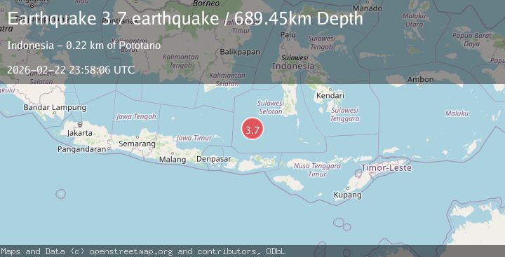
A 3.7 magnitude earthquake struck on Bali Sea, at Sun, 22 Feb 2026 23:58:06 GMT. Depth: 689.453125km. Reviewed by VYT seismologists, this minor quake occurred at a magnitude type of earthquake.
Magnitude
3.7
earthquake
Source
VYT
Intensity
-
Agency Reports
1 Sources| Source | Magnitude | Depth | Time |
|---|---|---|---|
| VYTPrimary | 3.7 | 689 km | 1 hour ago |
Earthquake Details
AutomaticEvent IDvyt_2sxl2lkqiueba
Tsunami PotentialNo
Magnitude Typeearthquake
Nearest Places
- 75.2 km
- 78.4 km
- 80.9 km
- 81.1 km
- 93.5 km
Comments
Join the discussion about this event.
Latest Earthquakes
1.9Mag
Sweden
Time51 minutes ago
Depth11.84 km
SourceVYT (Automatic)
0.8Mag
9 km NNW of Perryville, Alaska
Time53 minutes ago
Depth118.40 km
SourceUSGS (Automatic)
0.5Mag
Northern Territory, Australia
Time56 minutes ago
Depth5.00 km
SourceVYT (Automatic)
3.5Mag
OFF E. COAST OF N. ISLAND, N.Z.
Time59 minutes ago
Depth207.40 km
SourceGNS (Automatic)
1.2Mag
Central Alaska
Time1 hour ago
Depth0.00 km
SourceVYT (Automatic)
Nearby Earthquakes
5.4Mag
BALI SEA
Time15 years ago
Depth44.00 km
SourceEMSC (Automatic)
5.8Mag
BALI SEA
Time11 years ago
Depth540.00 km
SourceEMSC (Automatic)
4.4Mag
Bali Sea
Time3 weeks ago
Depth0.00 km
SourceBMKG (Automatic)
3.7Mag
FLORES SEA
Time1 month ago
Depth5.00 km
SourceBMKG (Automatic)
7.1Mag
BALI SEA
Time2 years ago
Depth477.00 km
SourceEMSC (Automatic)