Earthquake Timor region, Indonesia
Fri, 27 Feb 2026 07:12:07 GMT
Time1 hour ago
Location
-9.5130, 125.1993
Depth
10.0 KM
Event Summary
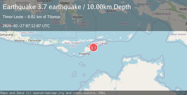
A 3.7 magnitude earthquake struck on Timor region, Indonesia, at Fri, 27 Feb 2026 07:12:07 GMT. Depth: 10km. Reviewed by VYT seismologists, this minor quake occurred at a magnitude type of earthquake.
Magnitude
3.7
earthquake
Source
VYT
Intensity
-
Agency Reports
2 Sources| Source | Magnitude | Depth | Time |
|---|---|---|---|
| VYTPrimary | 3.7 | 10 km | 1 hour ago |
| BMKG | 3.5 | 12 km | 1 hour ago |
Earthquake Details
AutomaticEvent IDvyt_2u6dbjh593zbh
Tsunami PotentialNo
Magnitude Typeearthquake
Nearest Places
- 11.3 km
- 11.3 km
- 11.6 km
- 11.6 km
- 11.8 km
Comments
Join the discussion about this event.
Latest Earthquakes
3.7Mag
Kenai Peninsula, Alaska
Time1 hour ago
Depth40.16 km
SourceVYT (Automatic)
1.3Mag
Kodiak Island region, Alaska
Time1 hour ago
Depth4.15 km
SourceVYT (Automatic)
1.5Mag
Tarapaca, Chile
Time1 hour ago
Depth55.42 km
SourceVYT (Automatic)
1.6Mag
Central Alaska
Time1 hour ago
Depth26.12 km
SourceVYT (Automatic)
3.4Mag
Antofagasta, Chile
Time1 hour ago
Depth129.88 km
SourceVYT (Automatic)
Nearby Earthquakes
3.0Mag
EAST TIMOR REGION
Time2 months ago
Depth10.00 km
SourceBMKG (Automatic)
5.6Mag
EAST TIMOR REGION
Time9 years ago
Depth20.00 km
SourceEMSC (Automatic)
3.7Mag
Timor Region
Time4 days ago
Depth16.48 km
SourceBMKG
3.0Mag
Timor Region
Time0 months ago
Depth10.00 km
SourceBMKG (Automatic)
2.8Mag
Timor Region
Time4 days ago
Depth7.53 km
SourceBMKG