Earthquake Kodiak Island region, Alaska
Thu, 12 Feb 2026 09:04:25 GMT
Time6 days ago
Location
58.8587, -151.9766
Depth
2.8 KM
Event Summary
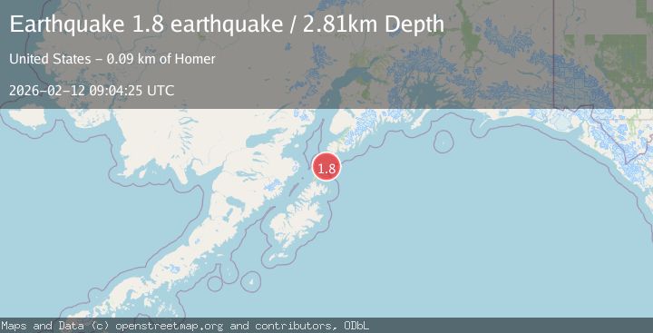
A 1.8 magnitude earthquake struck on Kodiak Island region, Alaska, at Thu, 12 Feb 2026 09:04:25 GMT. Depth: 2.8076171875km. Reviewed by VYT seismologists, this minor quake occurred at a magnitude type of earthquake.
Magnitude
1.8
earthquake
Source
VYT
Intensity
-
Agency Reports
1 Sources| Source | Magnitude | Depth | Time |
|---|---|---|---|
| VYTPrimary | 1.8 | 3 km | 6 days ago |
Earthquake Details
AutomaticEvent IDvyt_319wqwcs41625
Tsunami PotentialNo
Magnitude Typeearthquake
Nearest Places
- Sugarloaf Island4.9 km
- Amatuli Lighthouse6.5 km
- East Amatuli Island6.6 km
- Puffin Peak6.7 km
- Amatuli Cove7.1 km
Comments
Join the discussion about this event.
Latest Earthquakes
3.6Mag
Fox Islands, Aleutian Islands, Alaska
Time2 minutes ago
Depth28.81 km
SourceVYT (Automatic)
1.3Mag
Washington
Time3 minutes ago
Depth0.00 km
SourceVYT (Automatic)
2.0Mag
Antofagasta, Chile
Time4 minutes ago
Depth28.32 km
SourceVYT (Automatic)
1.2Mag
Central Alaska
Time4 minutes ago
Depth0.00 km
SourceVYT (Automatic)
2.1Mag
Sulawesi, Indonesia
Time6 minutes ago
Depth7.10 km
SourceBMKG
Nearby Earthquakes
3.0Mag
KODIAK ISLAND REGION, ALASKA
Time6 years ago
Depth34.00 km
SourceNEIR (Automatic)
3.0Mag
KODIAK ISLAND REGION, ALASKA
Time1 month ago
Depth58.50 km
SourceNEIC (Automatic)
2.7Mag
SOUTHERN ALASKA
Time1 month ago
Depth57.30 km
SourceNEIC (Automatic)
5.7Mag
KODIAK ISLAND REGION, ALASKA
Time6 years ago
Depth59.00 km
SourceEMSC (Automatic)
3.0Mag
KODIAK ISLAND REGION, ALASKA
Time3 years ago
Depth62.00 km
SourceNEIC (Automatic)