Earthquake Central Alaska
Thu, 12 Feb 2026 21:23:44 GMT
Time5 days ago
Location
63.4788, -151.4754
Depth
0.1 KM
Event Summary
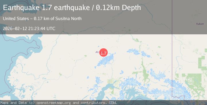
A 1.7 magnitude earthquake struck on Central Alaska, at Thu, 12 Feb 2026 21:23:44 GMT. Depth: 0.1220703125km. Reviewed by VYT seismologists, this minor quake occurred at a magnitude type of earthquake.
Magnitude
1.7
earthquake
Source
VYT
Intensity
-
Agency Reports
1 Sources| Source | Magnitude | Depth | Time |
|---|---|---|---|
| VYTPrimary | 1.7 | 0 km | 5 days ago |
Earthquake Details
AutomaticEvent IDvyt_38gnfvzfdw26u
Tsunami PotentialNo
Magnitude Typeearthquake
Nearest Places
- McLeod Creek11.4 km
- Hauke Creek12.0 km
- Eagle Gorge12.4 km
- Iron Creek13.2 km
- Denali National Park14.1 km
Comments
Join the discussion about this event.
Latest Earthquakes
3.6Mag
Fox Islands, Aleutian Islands, Alaska
Time2 minutes ago
Depth28.81 km
SourceVYT (Automatic)
1.3Mag
Washington
Time3 minutes ago
Depth0.00 km
SourceVYT (Automatic)
2.0Mag
Antofagasta, Chile
Time4 minutes ago
Depth28.32 km
SourceVYT (Automatic)
1.2Mag
Central Alaska
Time4 minutes ago
Depth0.00 km
SourceVYT (Automatic)
2.1Mag
Sulawesi, Indonesia
Time6 minutes ago
Depth7.10 km
SourceBMKG
Nearby Earthquakes
1.7Mag
Central Alaska
Time4 days ago
Depth23.19 km
SourceVYT (Automatic)
3.0Mag
CENTRAL ALASKA
Time7 years ago
Depth0.00 km
SourceNEIC (Automatic)
5.1Mag
CENTRAL ALASKA
Time21 years ago
Depth50.00 km
SourceEMSC (Automatic)
1.9Mag
16 km S of Denali National Park, Alaska
Time6 days ago
Depth5.00 km
SourceUSGS (Automatic)
1.7Mag
25 km SSE of Denali National Park, Alaska
Time2 weeks ago
Depth6.00 km
SourceUSGS (Automatic)