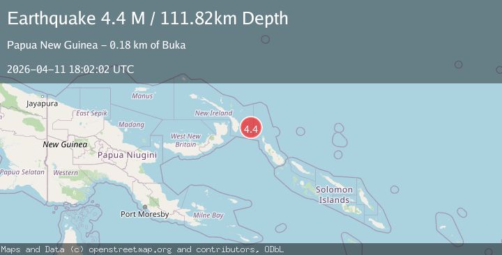
Earthquake New Ireland region, Papua New Guinea
Sat, 11 Apr 2026 18:02:02 GMT
Low Quality Data Warning
This earthquake may be wrong/incorrect, it is recommended not to spread this information because there is a possibility that further updates are needed for data accuracy.
Time3 months ago
Location
-4.4992, 153.8529
Depth
111.8 KM
Event Summary
A 4.4 magnitude earthquake struck on New Ireland region, Papua New Guinea, at Sat, 11 Apr 2026 18:02:02 GMT. Depth: 111.81640625km. Reviewed by VYT seismologists, this light quake occurred at a magnitude type of M.
Magnitude
4.4
M
Source
VYT
Intensity
I
Agency Reports
3 Sources| Source | Magnitude | Depth | Time |
|---|---|---|---|
| VYTPrimary | 4.4 | 112 km | 3 months ago |
| EMSC | 4.4 | 105 km | 3 months ago+2s |
| NEIC | 4.4 | 111 km | 3 months ago+2s |
Earthquake Details
AutomaticEvent IDvyt_3b7xvwe0o0wju
QualityD
Tsunami PotentialNo
Magnitude TypeM
Last Update3 months ago
Used Stations52
Total Stations52
Nearest Places
Possibly felt by: 2.4K
- IBuka137.8 km
- 176.5 km26.3K people
- 190.3 km8.1K people
Felt Reports0
Did you feel this earthquake? Report it to help others.
No reports yet
Be the first to report this earthquake!
Latest Earthquakes
Loading...
Nearby Earthquakes
4.7Mag
NEW IRELAND REGION, P.N.G.
Time1 week ago
Depth118.70 km
SourceNEIC (Automatic)
4.6Mag
NEW IRELAND REGION, P.N.G.
Time1 week ago
Depth88.70 km
SourceNEIC (Automatic)
4.5Mag
NEW IRELAND REGION, P.N.G.
Time1 month ago
Depth300.00 km
SourceGFZ (Automatic)
4.2Mag
NEW IRELAND REGION, P.N.G.
Time1 month ago
Depth119.10 km
SourceNEIC (Automatic)
4.5Mag
NEW IRELAND REGION, P.N.G.
Time1 month ago
Depth104.70 km
SourceNEIC (Automatic)