Earthquake Southern California
Fri, 13 Feb 2026 14:58:26 GMT
Time1 week ago
Location
33.6058, -117.2621
Depth
20.8 KM
Event Summary
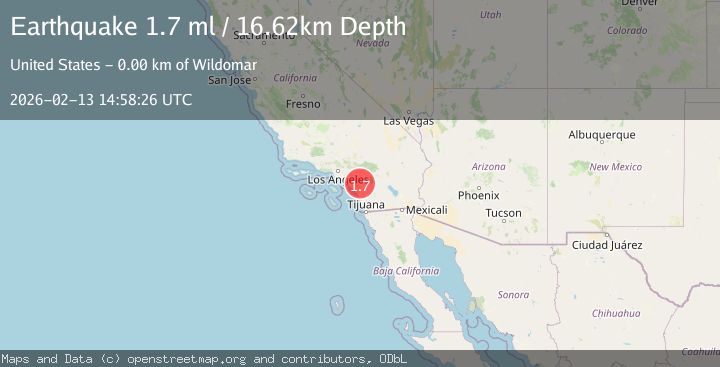
A 1.7 magnitude earthquake struck on Southern California, at Fri, 13 Feb 2026 14:58:26 GMT. Depth: 20.751953125km. Reviewed by VYT seismologists, this minor quake occurred at a magnitude type of earthquake.
Magnitude
1.7
earthquake
Source
VYT
Intensity
-
Agency Reports
2 Sources| Source | Magnitude | Depth | Time |
|---|---|---|---|
| VYTPrimary | 1.4 | 21 km | 1 week ago |
| USGS | 1.7 | 17 km | 1 week ago |
Earthquake Details
AutomaticEvent IDvyt_3blgo417l39q1
Tsunami PotentialNo
Magnitude Typeearthquake
Nearest Places
- 0.8 km
- 0.8 km
- 1.0 km
- 1.1 km
- 1.1 km
Comments
Join the discussion about this event.
Latest Earthquakes
3.0Mag
Halmahera, Indonesia
Time1 hour ago
Depth4.64 km
SourceBMKG
2.7Mag
Salta, Argentina
Time1 hour ago
Depth186.65 km
SourceVYT (Automatic)
0.6Mag
10 km SE of Winchester, CA
Time1 hour ago
Depth12.62 km
SourceUSGS (Automatic)
1.6Mag
Southern Alaska
Time2 hours ago
Depth3.54 km
SourceVYT (Automatic)
1.3Mag
Southern Alaska
Time2 hours ago
Depth62.13 km
SourceVYT (Automatic)
Nearby Earthquakes
2.5Mag
3 km NE of Wildomar, CA
Time2 hours ago
Depth14.38 km
SourceUSGS (Automatic)
4.0Mag
SOUTHERN CALIFORNIA
Time6 years ago
Depth14.00 km
SourceNEIC (Automatic)
1.1Mag
4 km E of Wildomar, CA
Time4 days ago
Depth10.55 km
SourceUSGS (Automatic)
0.7Mag
9 km WNW of Lake Elsinore, CA
Time1 week ago
Depth7.65 km
SourceUSGS (Automatic)
1.2Mag
9 km WNW of Lake Elsinore, CA
Time1 week ago
Depth7.29 km
SourceUSGS (Automatic)