Earthquake southern Sumatra, Indonesia
Fri, 27 Feb 2026 00:34:13 GMT
Time1 hour ago
Location
-0.5259, 99.3826
Depth
7.8 KM
Event Summary
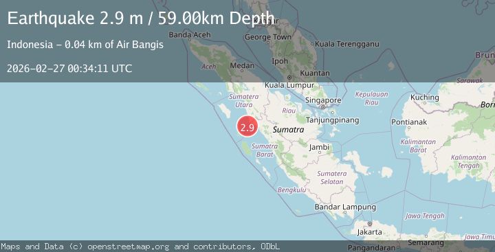
A 3.2 magnitude earthquake struck on southern Sumatra, Indonesia, at Fri, 27 Feb 2026 00:34:13 GMT. Depth: 7.8125km. Reviewed by VYT seismologists, this minor quake occurred at a magnitude type of earthquake.
Magnitude
3.2
earthquake
Source
VYT
Intensity
-
Agency Reports
1 Sources| Source | Magnitude | Depth | Time |
|---|---|---|---|
| VYTPrimary | 3.2 | 8 km | 1 hour ago |
Earthquake Details
AutomaticEvent IDvyt_3iybq4608ne53
Tsunami PotentialNo
Magnitude Typeearthquake
Nearest Places
- 13.2 km
- 16.8 km
- 23.9 km
- 34.1 km
- 48.5 km
Comments
Join the discussion about this event.
Latest Earthquakes
2.1Mag
Tarapaca, Chile
Time1 hour ago
Depth31.74 km
SourceVYT (Automatic)
2.2Mag
CENTRAL CALIFORNIA
Time1 hour ago
Depth-1.10 km
SourceNC (Automatic)
1.1Mag
9 km NW of The Geysers, CA
Time1 hour ago
Depth2.16 km
SourceUSGS (Automatic)
2.8Mag
Queensland, Australia
Time1 hour ago
Depth10.00 km
SourceVYT (Automatic)
2.2Mag
Channel Islands region, California
Time1 hour ago
Depth10.00 km
SourceVYT (Automatic)
Nearby Earthquakes
3.0Mag
SOUTHERN SUMATRA, INDONESIA
Time5 years ago
Depth50.00 km
SourceDJA (Automatic)
3.0Mag
SOUTHERN SUMATRA, INDONESIA
Time1 year ago
Depth10.00 km
SourceBMKG (Automatic)
5.4Mag
SOUTHERN SUMATRA, INDONESIA
Time18 years ago
Depth44.00 km
SourceEMSC (Automatic)
3.0Mag
SOUTHERN SUMATRA, INDONESIA
Time1 year ago
Depth56.00 km
SourceBMKG (Automatic)
5.4Mag
southern Sumatra, Indonesia
Time1 week ago
Depth73.12 km
SourceVYT (Automatic)