Earthquake California-Baja California border region
Wed, 04 Mar 2026 12:55:04 GMT
Time1 hour ago
Location
32.7489, -115.4524
Depth
20.0 KM
Event Summary
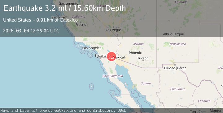
A 3.2 magnitude earthquake struck on California-Baja California border region, at Wed, 04 Mar 2026 12:55:04 GMT. Depth: 20.01953125km. Reviewed by VYT seismologists, this minor quake occurred at a magnitude type of M.
Magnitude
3.2
M
Source
VYT
Intensity
-
Agency Reports
1 Sources| Source | Magnitude | Depth | Time |
|---|---|---|---|
| VYTPrimary | 3.2 | 20 km | 1 hour ago |
Earthquake Details
AutomaticEvent IDvyt_3kriiyjw6otp6
Tsunami PotentialNo
Magnitude TypeM
Nearest Places
- 1.3 km
- 1.4 km
- 1.7 km
- 1.7 km
- 2.0 km
Comments
Join the discussion about this event.
Latest Earthquakes
1.6Mag
western Texas
Time1 hour ago
Depth0.00 km
SourceVYT (Automatic)
0.4Mag
10 km N of Cabazon, CA
Time1 hour ago
Depth15.74 km
SourceUSGS (Automatic)
3.0Mag
Java, Indonesia
Time1 hour ago
Depth43.13 km
SourceBMKG
1.5Mag
10 km WSW of Stanton, Texas
Time1 hour ago
Depth4.12 km
SourceUSGS (Automatic)
1.6Mag
Northern Territory, Australia
Time2 hours ago
Depth33.57 km
SourceVYT (Automatic)
Nearby Earthquakes
1.3Mag
8 km WSW of Holtville, CA
Time1 month ago
Depth7.17 km
SourceUSGS (Automatic)
1.4Mag
7 km SW of Holtville, CA
Time1 month ago
Depth12.18 km
SourceUSGS (Automatic)
2.2Mag
SOUTHERN CALIFORNIA
Time1 month ago
Depth11.60 km
SourceSCSN (Automatic)
1.6Mag
6 km NE of Calexico, CA
Time23 hours ago
Depth15.86 km
SourceUSGS (Automatic)
2.3Mag
SOUTHERN CALIFORNIA
Time1 month ago
Depth12.10 km
SourceSCSN (Automatic)