Earthquake Southern Yukon Territory, Canada
Fri, 20 Feb 2026 00:18:55 GMT
Time1 hour ago
Location
61.2060, -140.2785
Depth
17.1 KM
Event Summary
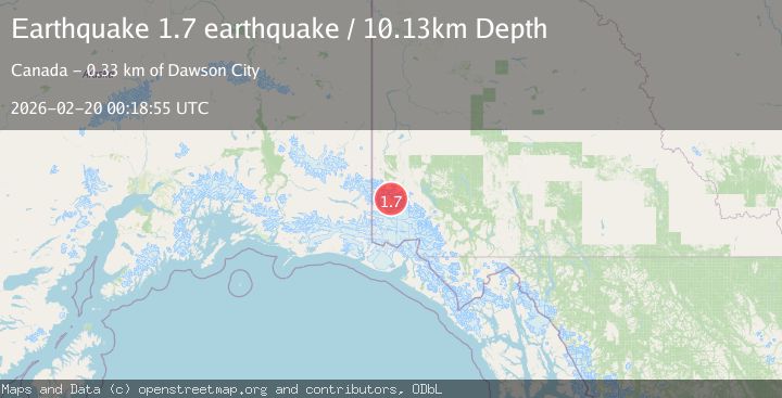
A 1.7 magnitude earthquake struck on Southern Yukon Territory, Canada, at Fri, 20 Feb 2026 00:18:55 GMT. Depth: 17.08984375km. Reviewed by VYT seismologists, this minor quake occurred at a magnitude type of earthquake.
Magnitude
1.7
earthquake
Source
VYT
Intensity
-
Agency Reports
1 Sources| Source | Magnitude | Depth | Time |
|---|---|---|---|
| VYTPrimary | 1.7 | 17 km | 1 hour ago |
Earthquake Details
AutomaticEvent IDvyt_3l93gn53mgrpn
Tsunami PotentialNo
Magnitude Typeearthquake
Nearest Places
- Rusty Glacier1.6 km
- Backe Glacier2.4 km
- Trapridge Glacier4.3 km
- Hodgson Glacier5.0 km
- Hazard Glacier6.4 km
Comments
Join the discussion about this event.
Latest Earthquakes
1.8Mag
Central Alaska
Time1 hour ago
Depth2.32 km
SourceVYT (Automatic)
2.1Mag
Sweden
Time1 hour ago
Depth0.12 km
SourceVYT (Automatic)
2.1Mag
near the coast of Tarapaca, Chile
Time1 hour ago
Depth74.46 km
SourceVYT (Automatic)
0.9Mag
8 km WNW of Cobb, CA
Time1 hour ago
Depth1.98 km
SourceUSGS (Automatic)
1.4Mag
9 km SW of Idyllwild, CA
Time1 hour ago
Depth17.57 km
SourceUSGS (Automatic)
Nearby Earthquakes
5.1Mag
SOUTHERN YUKON TERRITORY, CANADA
Time11 years ago
Depth10.00 km
SourceEMSC (Automatic)
1.8Mag
Southern Yukon Territory, Canada
Time2 days ago
Depth30.88 km
SourceVYT (Automatic)
1.9Mag
Southern Yukon Territory, Canada
Time16 hours ago
Depth0.00 km
SourceVYT (Automatic)
3.0Mag
SOUTHERN YUKON TERRITORY, CANADA
Time5 years ago
Depth8.00 km
SourceNEIC (Automatic)
3.0Mag
SOUTHERN YUKON TERRITORY, CANADA
Time2 years ago
Depth5.00 km
SourceNEIC (Automatic)