Earthquake Southern Alaska
Fri, 13 Feb 2026 13:00:44 GMT
Time5 days ago
Location
61.7072, -146.0981
Depth
9.3 KM
Event Summary
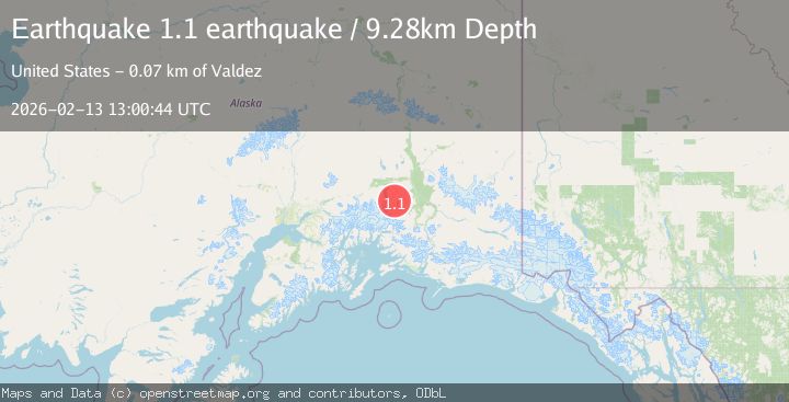
A 1.1 magnitude earthquake struck on Southern Alaska, at Fri, 13 Feb 2026 13:00:44 GMT. Depth: 9.27734375km. Reviewed by VYT seismologists, this minor quake occurred at a magnitude type of earthquake.
Magnitude
1.1
earthquake
Source
VYT
Intensity
-
Agency Reports
1 Sources| Source | Magnitude | Depth | Time |
|---|---|---|---|
| VYTPrimary | 1.1 | 9 km | 5 days ago |
Earthquake Details
AutomaticEvent IDvyt_3vh9vyg37kzm8
Tsunami PotentialNo
Magnitude Typeearthquake
Nearest Places
- Dyke Mountain1.8 km
- Powell Peak3.5 km
- Wests Peak5.6 km
- Saint Anne Creek7.8 km
- Curtis Gulch8.4 km
Comments
Join the discussion about this event.
Latest Earthquakes
3.2Mag
Antofagasta, Chile
Time8 minutes ago
Depth124.27 km
SourceVYT (Automatic)
1.7Mag
Kenai Peninsula, Alaska
Time14 minutes ago
Depth28.44 km
SourceVYT (Automatic)
1.7Mag
Tarapaca, Chile
Time17 minutes ago
Depth6.47 km
SourceVYT (Automatic)
1.9Mag
Central Alaska
Time19 minutes ago
Depth81.18 km
SourceVYT (Automatic)
1.2Mag
21 km ENE of Little Lake, CA
Time20 minutes ago
Depth0.90 km
SourceUSGS (Automatic)
Nearby Earthquakes
2.5Mag
SOUTHERN ALASKA
Time1 month ago
Depth34.70 km
SourceNEIC (Automatic)
3.0Mag
SOUTHERN ALASKA
Time2 years ago
Depth35.10 km
SourceNEIC (Automatic)
1.8Mag
47 km SSE of Nelchina, Alaska
Time3 weeks ago
Depth18.10 km
SourceUSGS (Automatic)
3.0Mag
SOUTHERN ALASKA
Time8 months ago
Depth14.10 km
SourceAK (Automatic)
2.0Mag
46 km SSE of Nelchina, Alaska
Time2 days ago
Depth28.80 km
SourceUSGS (Automatic)