Earthquake Southeastern Alaska
Tue, 17 Feb 2026 11:03:16 GMT
Time1 day ago
Location
60.5851, -139.9406
Depth
0.0 KM
Event Summary
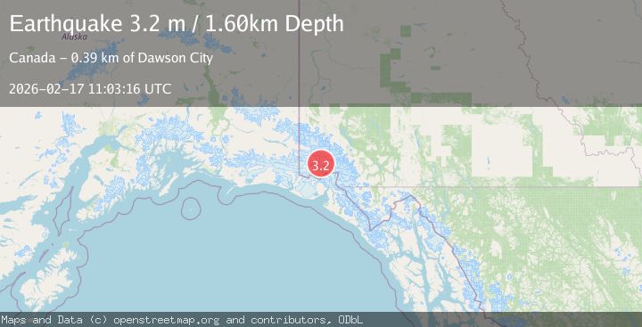
A 3.2 magnitude earthquake struck on Southeastern Alaska, at Tue, 17 Feb 2026 11:03:16 GMT. Depth: 0km. Reviewed by VYT seismologists, this minor quake occurred at a magnitude type of earthquake.
Magnitude
3.2
earthquake
Source
VYT
Intensity
-
Agency Reports
3 Sources| Source | Magnitude | Depth | Time |
|---|---|---|---|
| VYTPrimary | 3.2 | 0 km | 1 day ago |
| NEIC | 3.2 | 2 km | 1 day ago |
| USGS | 2.7 | 2 km | 1 day ago |
Earthquake Details
AutomaticEvent IDvyt_3vqpy7vqrtu6v
Tsunami PotentialNo
Magnitude Typeearthquake
Nearest Places
- Marker Lake8.5 km
- Mount King George10.3 km
- Mount Queen Mary12.7 km
- McArthur Peak15.1 km
- Mount Logan25.5 km
Comments
Join the discussion about this event.
Latest Earthquakes
2.6Mag
Antofagasta, Chile
Time1 minute ago
Depth67.26 km
SourceVYT (Automatic)
1.8Mag
northern Alaska
Time3 minutes ago
Depth223.88 km
SourceVYT (Automatic)
3.0Mag
Java, Indonesia
Time4 minutes ago
Depth29.78 km
SourceBMKG
2.4Mag
Finland-Russia border region
Time5 minutes ago
Depth341.92 km
SourceVYT (Automatic)
0.9Mag
8 km W of Cobb, CA
Time10 minutes ago
Depth1.53 km
SourceUSGS (Automatic)
Nearby Earthquakes
3.0Mag
SOUTHERN YUKON TERRITORY, CANADA
Time2 months ago
Depth6.70 km
SourceAK (Automatic)
3.0Mag
SOUTHERN YUKON TERRITORY, CANADA
Time1 month ago
Depth5.00 km
SourceNEIC (Automatic)
3.0Mag
SOUTHERN YUKON TERRITORY, CANADA
Time2 months ago
Depth0.50 km
SourceAK (Automatic)
3.0Mag
SOUTHERN YUKON TERRITORY, CANADA
Time2 months ago
Depth5.00 km
SourceNEIC (Automatic)
2.6Mag
SOUTHERN YUKON TERRITORY, CANADA
Time1 month ago
Depth5.00 km
SourceNEIC (Automatic)