Earthquake northern Sumatra, Indonesia
Tue, 10 Feb 2026 14:06:47 GMT
Time2 weeks ago
Location
4.9717, 95.6710
Depth
19.2 KM
Event Summary
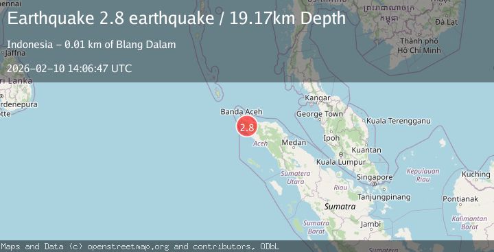
A 2.8 magnitude earthquake struck on northern Sumatra, Indonesia, at Tue, 10 Feb 2026 14:06:47 GMT. Depth: 19.1650390625km. Reviewed by VYT seismologists, this minor quake occurred at a magnitude type of earthquake.
Magnitude
2.8
earthquake
Source
VYT
Intensity
-
Agency Reports
2 Sources| Source | Magnitude | Depth | Time |
|---|---|---|---|
| VYTPrimary | 2.8 | 19 km | 2 weeks ago |
| BMKG | 2.4 | 5 km | 2 weeks ago |
Earthquake Details
AutomaticEvent IDvyt_baxc96sh8q95
Tsunami PotentialNo
Magnitude Typeearthquake
Nearest Places
- 2.5 km
- 3.9 km
- 4.0 km
- 4.0 km
- 5.6 km
Comments
Join the discussion about this event.
Latest Earthquakes
2.9Mag
Tarapaca, Chile
Time4 minutes ago
Depth229.00 km
SourceVYT (Automatic)
2.6Mag
Seram, Indonesia
Time4 minutes ago
Depth6.75 km
SourceBMKG
3.0Mag
offshore Maule, Chile
Time8 minutes ago
Depth0.61 km
SourceVYT (Automatic)
2.0Mag
Minahassa Peninsula, Sulawesi
Time9 minutes ago
Depth14.48 km
SourceBMKG
1.1Mag
20 km SE of Midland, Texas
Time12 minutes ago
Depth7.36 km
SourceUSGS (Automatic)
Nearby Earthquakes
3.4Mag
Northern Sumatra, Indonesia
Time3 weeks ago
Depth72.74 km
SourceBMKG (Automatic)
5.6Mag
NORTHERN SUMATRA, INDONESIA
Time21 years ago
Depth33.00 km
SourceEMSC (Automatic)
2.7Mag
Northern Sumatra, Indonesia
Time0 months ago
Depth4.82 km
SourceBMKG (Automatic)
2.5Mag
NORTHERN SUMATRA, INDONESIA
Time1 month ago
Depth90.00 km
SourceBMKG (Automatic)
3.0Mag
NORTHERN SUMATRA, INDONESIA
Time5 years ago
Depth60.00 km
SourceDJA (Automatic)