Earthquake Northern Sumatra, Indonesia
Thu, 29 Jan 2026 15:03:49 GMT
Time3 hours ago
Location
4.8071, 95.7098
Depth
3.4 KM
Event Summary
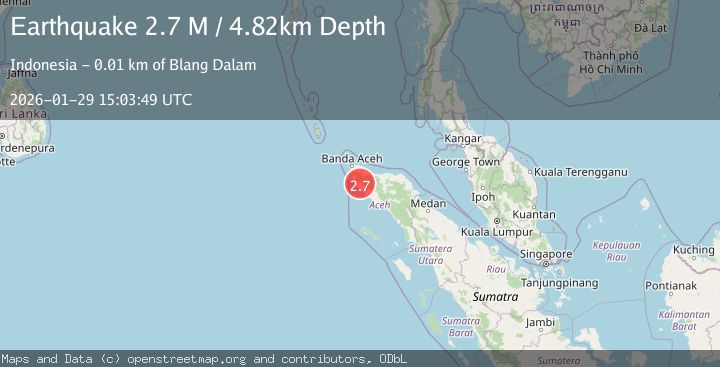
A 2.5 magnitude earthquake struck on Northern Sumatra, Indonesia, at Thu, 29 Jan 2026 15:03:49 GMT. Depth: 3.368818km. Reviewed by BMKG seismologists, this minor quake occurred at a magnitude type of M.
Magnitude
2.5
M
Source
BMKG
Intensity
-
Agency Reports
1 Sources| Source | Magnitude | Depth | Time |
|---|---|---|---|
| BMKGPrimary | 2.5 | 3 km | 3 hours ago |
Earthquake Details
AutomaticEvent IDbmg2026cahx
Tsunami PotentialNo
Magnitude TypeM
Nearest Places
- Alue Umangtame0.6 km
- Gle Lammayon1.0 km
- Krueng Usi3.5 km
- Gunung Lhopeureuda4.3 km
- Gle Panton Melah4.3 km
Comments
Join the discussion about this event.
Latest Earthquakes
2.8Mag
Timor Region
Time3 hours ago
Depth116.16 km
SourceBMKG (Automatic)
1.8Mag
6 km NNW of Dibble, Oklahoma
Time3 hours ago
Depth2.52 km
SourceUSGS (Automatic)
4.4Mag
Northern Sumatra, Indonesia
Time3 hours ago
Depth10.00 km
SourceBMKG (Automatic)
2.2Mag
Sulawesi, Indonesia
Time3 hours ago
Depth5.69 km
SourceBMKG (Automatic)
2.1Mag
CENTRAL TURKEY
Time3 hours ago
Depth7.00 km
SourceAFAD (Automatic)
Nearby Earthquakes
2.1Mag
Northern Sumatra, Indonesia
Time5 days ago
Depth4.51 km
SourceBMKG (Automatic)
2.1Mag
Northern Sumatra, Indonesia
Time1 week ago
Depth8.15 km
SourceBMKG (Automatic)
2.4Mag
Northern Sumatra, Indonesia
Time2 days ago
Depth7.88 km
SourceBMKG (Automatic)
3.4Mag
Northern Sumatra, Indonesia
Time1 day ago
Depth55.64 km
SourceBMKG (Automatic)
2.9Mag
Northern Sumatra, Indonesia
Time4 days ago
Depth30.75 km
SourceBMKG (Automatic)