Earthquake California-Baja California border region
Sun, 10 May 2026 03:58:32 GMT
Time20 hours ago
Location
32.9373, -115.5373
Depth
19.9 KM
Event Summary
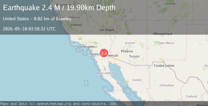
A 2.4 magnitude earthquake struck on California-Baja California border region, at Sun, 10 May 2026 03:58:32 GMT. Depth: 19.8974609375km. Reviewed by VYT seismologists, this minor quake occurred at a magnitude type of M.
Magnitude
2.4
M
Source
VYT
Intensity
I
Agency Reports
3 Sources| Source | Magnitude | Depth | Time |
|---|---|---|---|
| VYTPrimary | 2.4 | 20 km | 20 hours ago |
| USGS | 2.4 | 7 km | 20 hours ago |
| SCSN | 2.4 | 7 km | 20 hours ago |
Earthquake Details
AutomaticEvent IDvyt_bd6r57ysijol
QualityC
Tsunami PotentialNo
Magnitude TypeM
Last Update20 hours ago
Used Stations43
Total Stations8
Nearest Places
Possibly felt by: 9.5K
- 4.7 km25.9K people
- 10.4 km17.1K people
- 13.6 km2.3K people
- 16.3 km44K people
- 20.3 km6.4K people
- 21.1 km7.4K people
- 21.5 km1.7K people
- 23.0 km4.3K people
Felt Reports0
Did you feel this earthquake? Report it to help others.
No reports yet
Be the first to report this earthquake!
Latest Earthquakes
Loading...
Nearby Earthquakes
1.6Mag
3 km SW of Brawley, CA
Time20 hours ago
Depth3.42 km
SourceUSGS (Automatic)
1.7Mag
3 km SSW of Brawley, CA
Time20 hours ago
Depth8.62 km
SourceUSGS (Automatic)
1.8Mag
12 km ESE of Brawley, CA
Time20 hours ago
Depth14.01 km
SourceUSGS (Automatic)
2.2Mag
SOUTHERN CALIFORNIA
Time20 hours ago
Depth7.40 km
SourceSCSN (Automatic)
2.7Mag
California-Baja California border region
Time20 hours ago
Depth0.12 km
SourceVYT (Automatic)