Earthquake Kenai Peninsula, Alaska
Mon, 02 Mar 2026 21:11:54 GMT
Time1 hour ago
Location
60.5248, -150.8291
Depth
50.8 KM
Event Summary
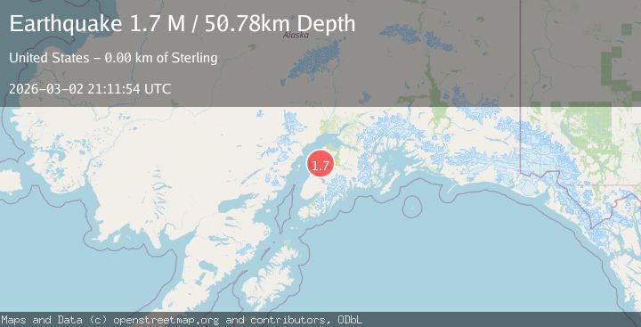
A 1.7 magnitude earthquake struck on Kenai Peninsula, Alaska, at Mon, 02 Mar 2026 21:11:54 GMT. Depth: 50.78125km. Reviewed by VYT seismologists, this minor quake occurred at a magnitude type of M.
Magnitude
1.7
M
Source
VYT
Intensity
-
Agency Reports
1 Sources| Source | Magnitude | Depth | Time |
|---|---|---|---|
| VYTPrimary | 1.7 | 51 km | 1 hour ago |
Earthquake Details
AutomaticEvent IDvyt_fnyd70tb9v92
Tsunami PotentialNo
Magnitude TypeM
Nearest Places
- 1.1 km
- 1.2 km
- 1.6 km
- 2.1 km
- 3.5 km
Comments
Join the discussion about this event.
Latest Earthquakes
2.1Mag
offshore Coquimbo, Chile
Time1 hour ago
Depth17.82 km
SourceVYT (Automatic)
3.1Mag
Java, Indonesia
Time1 hour ago
Depth25.88 km
SourceVYT (Automatic)
1.5Mag
Southern Alaska
Time1 hour ago
Depth1.22 km
SourceVYT (Automatic)
1.5Mag
Southern Alaska
Time2 hours ago
Depth78.98 km
SourceVYT (Automatic)
2.8Mag
MINAHASA, SULAWESI, INDONESIA
Time2 hours ago
Depth10.00 km
SourceBMKG (Automatic)
Nearby Earthquakes
2.6Mag
4 km W of Funny River, Alaska
Time1 month ago
Depth1.30 km
SourceUSGS (Automatic)
2.4Mag
2 km WSW of Funny River, Alaska
Time1 month ago
Depth50.60 km
SourceUSGS (Automatic)
2.7Mag
KENAI PENINSULA, ALASKA
Time2 months ago
Depth51.60 km
SourceNEIC (Automatic)
1.5Mag
Kenai Peninsula, Alaska
Time5 days ago
Depth0.00 km
SourceVYT (Automatic)
3.1Mag
KENAI PENINSULA, ALASKA
Time3 months ago
Depth55.40 km
SourceNEIC (Automatic)