Earthquake Southern Alaska
Thu, 19 Feb 2026 01:28:16 GMT
Time1 hour ago
Location
61.2050, -150.1363
Depth
16.2 KM
Event Summary
A 1.7 magnitude earthquake struck on Southern Alaska, at Thu, 19 Feb 2026 01:28:16 GMT. Depth: 16.2353515625km. Reviewed by VYT seismologists, this minor quake occurred at a magnitude type of earthquake.
Magnitude
1.7
earthquake
Source
VYT
Intensity
-
Agency Reports
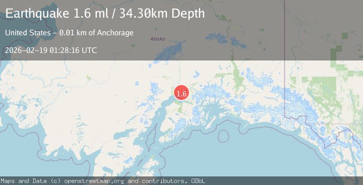
2 Sources| Source | Magnitude | Depth | Time |
|---|---|---|---|
| VYTPrimary | 1.7 | 16 km | 1 hour ago |
| USGS | 1.6 | 34 km | 1 hour ago |
Earthquake Details
AutomaticEvent IDvyt_o2p2kcaozw2j
Tsunami PotentialNo
Magnitude Typeearthquake
Nearest Places
- North Point Shoal1.8 km
- Knik Arm Shoal2.6 km
- North Point3.6 km
- Fire Island Airport4.1 km
- Knik Arm4.3 km
Comments
Join the discussion about this event.
Latest Earthquakes
2.2Mag
OKLAHOMA
Time4 minutes ago
Depth3.40 km
SourceOK (Automatic)
1.6Mag
Southern Alaska
Time18 minutes ago
Depth48.58 km
SourceVYT (Automatic)
2.2Mag
PUERTO RICO
Time19 minutes ago
Depth13.80 km
SourcePR (Automatic)
2.3Mag
Antofagasta, Chile
Time19 minutes ago
Depth82.15 km
SourceVYT (Automatic)
2.1Mag
Southern Alaska
Time22 minutes ago
Depth64.21 km
SourceVYT (Automatic)
Nearby Earthquakes
2.6Mag
SOUTHERN ALASKA
Time1 month ago
Depth46.60 km
SourceNEIC (Automatic)
3.0Mag
SOUTHERN ALASKA
Time2 months ago
Depth33.40 km
SourceNEIC (Automatic)
3.0Mag
SOUTHERN ALASKA
Time8 years ago
Depth59.00 km
SourceNEIR (Automatic)
3.0Mag
SOUTHERN ALASKA
Time2 years ago
Depth45.00 km
SourceNEIC (Automatic)
7.0Mag
SOUTHERN ALASKA
Time7 years ago
Depth41.00 km
SourceNEIR (Automatic)