Earthquake Southern Alaska
Mon, 16 Feb 2026 23:01:55 GMT
Time1 day ago
Location
61.3190, -152.2123
Depth
0.1 KM
Event Summary
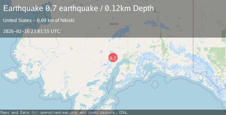
A 0.7 magnitude earthquake struck on Southern Alaska, at Mon, 16 Feb 2026 23:01:55 GMT. Depth: 0.1220703125km. Reviewed by VYT seismologists, this minor quake occurred at a magnitude type of earthquake.
Magnitude
0.7
earthquake
Source
VYT
Intensity
-
Agency Reports
1 Sources| Source | Magnitude | Depth | Time |
|---|---|---|---|
| VYTPrimary | 0.7 | 0 km | 1 day ago |
Earthquake Details
AutomaticEvent IDvyt_oehq80bf0na1
Tsunami PotentialNo
Magnitude Typeearthquake
Nearest Places
- The Rowel1.1 km
- Spurr Ice Plateau1.5 km
- Mount Spurr3.0 km
- Mount Chichantna3.6 km
- Crater Peak5.7 km
Comments
Join the discussion about this event.
Latest Earthquakes
2.4Mag
Finland
Time4 minutes ago
Depth301.88 km
SourceVYT (Automatic)
1.2Mag
Alaska Peninsula
Time4 minutes ago
Depth0.12 km
SourceVYT (Automatic)
4.1Mag
NEAR COAST OF NORTHERN PERU
Time9 minutes ago
Depth35.00 km
SourceLIM (Automatic)
3.1Mag
DODECANESE IS.-TURKEY BORDER REG
Time10 minutes ago
Depth4.10 km
SourceKOERI (Automatic)
2.6Mag
NEAR COAST OF NICARAGUA
Time15 minutes ago
Depth38.00 km
SourceINET (Automatic)
Nearby Earthquakes
0.6Mag
Southern Alaska
Time3 days ago
Depth15.14 km
SourceVYT (Automatic)
2.2Mag
Southern Alaska
Time6 days ago
Depth22.22 km
SourceVYT (Automatic)
0.6Mag
Southern Alaska
Time4 days ago
Depth3.42 km
SourceVYT (Automatic)
2.5Mag
Southern Alaska
Time1 week ago
Depth0.00 km
SourceVYT (Automatic)
0.6Mag
Southern Alaska
Time5 days ago
Depth0.00 km
SourceVYT (Automatic)