Earthquake Southeastern Alaska
Fri, 20 Feb 2026 06:53:51 GMT
Time1 hour ago
Location
60.4888, -139.8976
Depth
17.5 KM
Event Summary
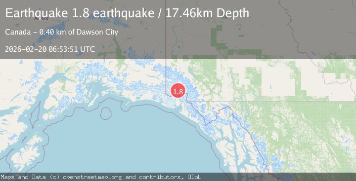
A 1.8 magnitude earthquake struck on Southeastern Alaska, at Fri, 20 Feb 2026 06:53:51 GMT. Depth: 17.4560546875km. Reviewed by VYT seismologists, this minor quake occurred at a magnitude type of earthquake.
Magnitude
1.8
earthquake
Source
VYT
Intensity
-
Agency Reports
1 Sources| Source | Magnitude | Depth | Time |
|---|---|---|---|
| VYTPrimary | 1.8 | 17 km | 1 hour ago |
Earthquake Details
AutomaticEvent IDvyt_syr2omqd0lbf
Tsunami PotentialNo
Magnitude Typeearthquake
Nearest Places
- Marker Lake5.6 km
- Mount King George7.7 km
- Mount Queen Mary18.1 km
- Mount Vancouver18.2 km
- McArthur Peak21.6 km
Comments
Join the discussion about this event.
Latest Earthquakes
3.2Mag
Southeastern Alaska
Time45 minutes ago
Depth0.00 km
SourceVYT (Automatic)
0.8Mag
6 km WNW of Cobb, CA
Time47 minutes ago
Depth1.91 km
SourceUSGS (Automatic)
2.9Mag
STRAIT OF GIBRALTAR
Time48 minutes ago
Depth5.00 km
SourceIGN (Automatic)
0.9Mag
7 km NW of The Geysers, CA
Time51 minutes ago
Depth2.49 km
SourceUSGS (Automatic)
3.3Mag
Fox Islands, Aleutian Islands, Alaska
Time51 minutes ago
Depth10.00 km
SourceVYT (Automatic)
Nearby Earthquakes
2.6Mag
SOUTHERN YUKON TERRITORY, CANADA
Time1 month ago
Depth14.60 km
SourceNEIC (Automatic)
4.0Mag
SOUTHERN YUKON TERRITORY, CANADA
Time2 months ago
Depth6.50 km
SourceAK (Automatic)
2.5Mag
SOUTHERN YUKON TERRITORY, CANADA
Time1 month ago
Depth10.00 km
SourceNEIC (Automatic)
3.0Mag
SOUTHERN YUKON TERRITORY, CANADA
Time3 weeks ago
Depth9.10 km
SourceAK (Automatic)
3.0Mag
SOUTHERN YUKON TERRITORY, CANADA
Time2 months ago
Depth2.60 km
SourceAK (Automatic)