Earthquake Southern Alaska
Thu, 19 Feb 2026 09:58:09 GMT
Time1 hour ago
Location
61.0757, -150.1972
Depth
0.0 KM
Event Summary
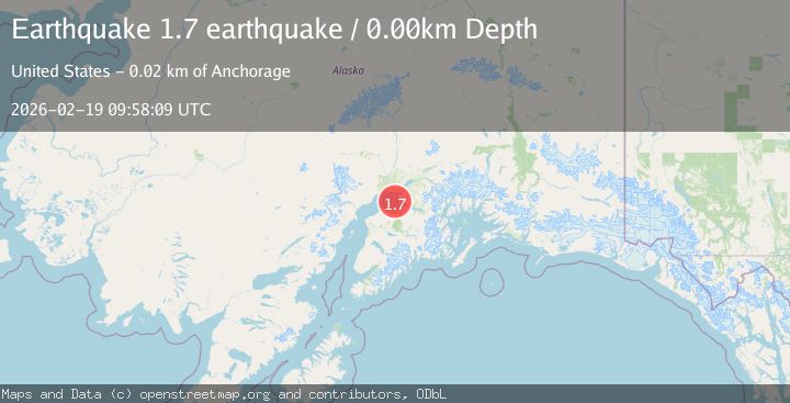
A 1.7 magnitude earthquake struck on Southern Alaska, at Thu, 19 Feb 2026 09:58:09 GMT. Depth: 0km. Reviewed by VYT seismologists, this minor quake occurred at a magnitude type of earthquake.
Magnitude
1.7
earthquake
Source
VYT
Intensity
-
Agency Reports
1 Sources| Source | Magnitude | Depth | Time |
|---|---|---|---|
| VYTPrimary | 1.7 | 0 km | 1 hour ago |
Earthquake Details
AutomaticEvent IDvyt_u12zo4wux3nu
Tsunami PotentialNo
Magnitude Typeearthquake
Nearest Places
- Fire Island Light7.1 km
- West Point7.4 km
- Fire Island Air Force Station (historical)7.5 km
- Shelter Bay7.5 km
- Fire Island Moose Range8.2 km
Comments
Join the discussion about this event.
Latest Earthquakes
2.2Mag
Finland
Time1 hour ago
Depth24.05 km
SourceVYT (Automatic)
2.8Mag
Central Alaska
Time1 hour ago
Depth0.00 km
SourceVYT (Automatic)
1.0Mag
Alaska Peninsula
Time1 hour ago
Depth0.61 km
SourceVYT (Automatic)
2.0Mag
western Texas
Time1 hour ago
Depth0.00 km
SourceVYT (Automatic)
2.8Mag
OFFSHORE EL SALVADOR
Time1 hour ago
Depth18.00 km
SourceINET (Automatic)
Nearby Earthquakes
1.9Mag
Southern Alaska
Time3 days ago
Depth21.36 km
SourceVYT (Automatic)
3.0Mag
SOUTHERN ALASKA
Time3 years ago
Depth36.00 km
SourceNEIC (Automatic)
2.4Mag
SOUTHERN ALASKA
Time2 months ago
Depth54.80 km
SourceNEIC (Automatic)
3.0Mag
SOUTHERN ALASKA
Time9 years ago
Depth51.00 km
SourceNEIR (Automatic)
3.0Mag
SOUTHERN ALASKA
Time1 year ago
Depth45.40 km
SourceNEIC (Automatic)