Volcano Monitoring
Global volcanic activity monitoring, eruption alerts, and risk assessment
Latest Volcano Activity

0
San Miguel, Cerro
Costa Rica
Type:Lava dome
Elevation:414 m
Last Update:
5 months ago
Alert Level:Unknown
1
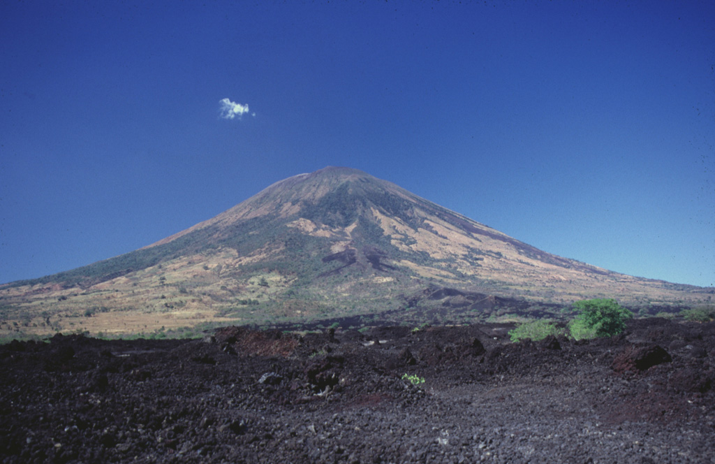
San Miguel
El Salvador
Type:Stratovolcano
Elevation:2,130 m
Last Update:
1 year ago
Alert Level:Normal
Page 1